29 Great Hiking Trails in the Shawnee National Forest
Are you looking for great hiking trails in the Shawnee National Forest this season?
Lucky for you, there are over 400 miles of hiking trails in southern Illinois in and around the Shawnee National Forest.
Whether you live locally and want something to do every weekend, or you plan to visit and want to have a memorable time in southern Illinois, you’ll love these hiking trails. There are enough to keep you busy for weekend after weekend or visit after visit.
And these great hiking trails in the Shawnee National Forest are made for everyone of all ages and abilities.
Great Hiking Trails in the Shawnee National Forest
Let’s look at 29 great hiking trails in the Shawnee National Forest to start enjoying this hiking season.
1: Cave-in-Rock Trail
Easy – .5-mile (Out and Back) – Google Map Directions
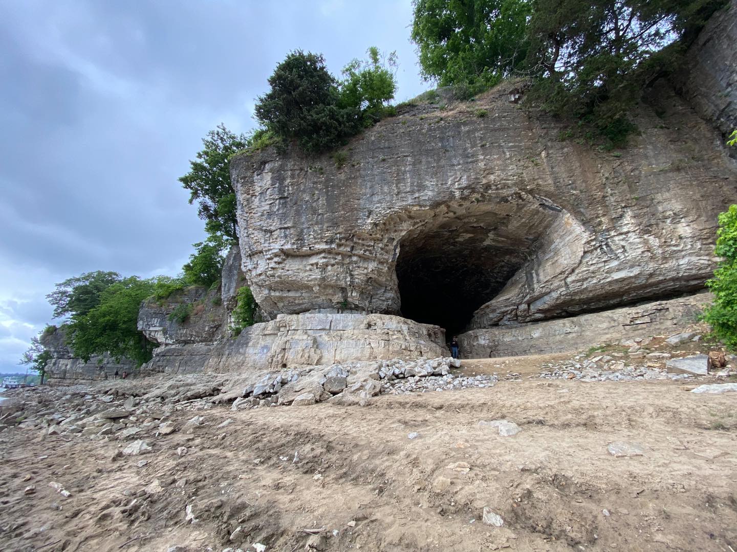
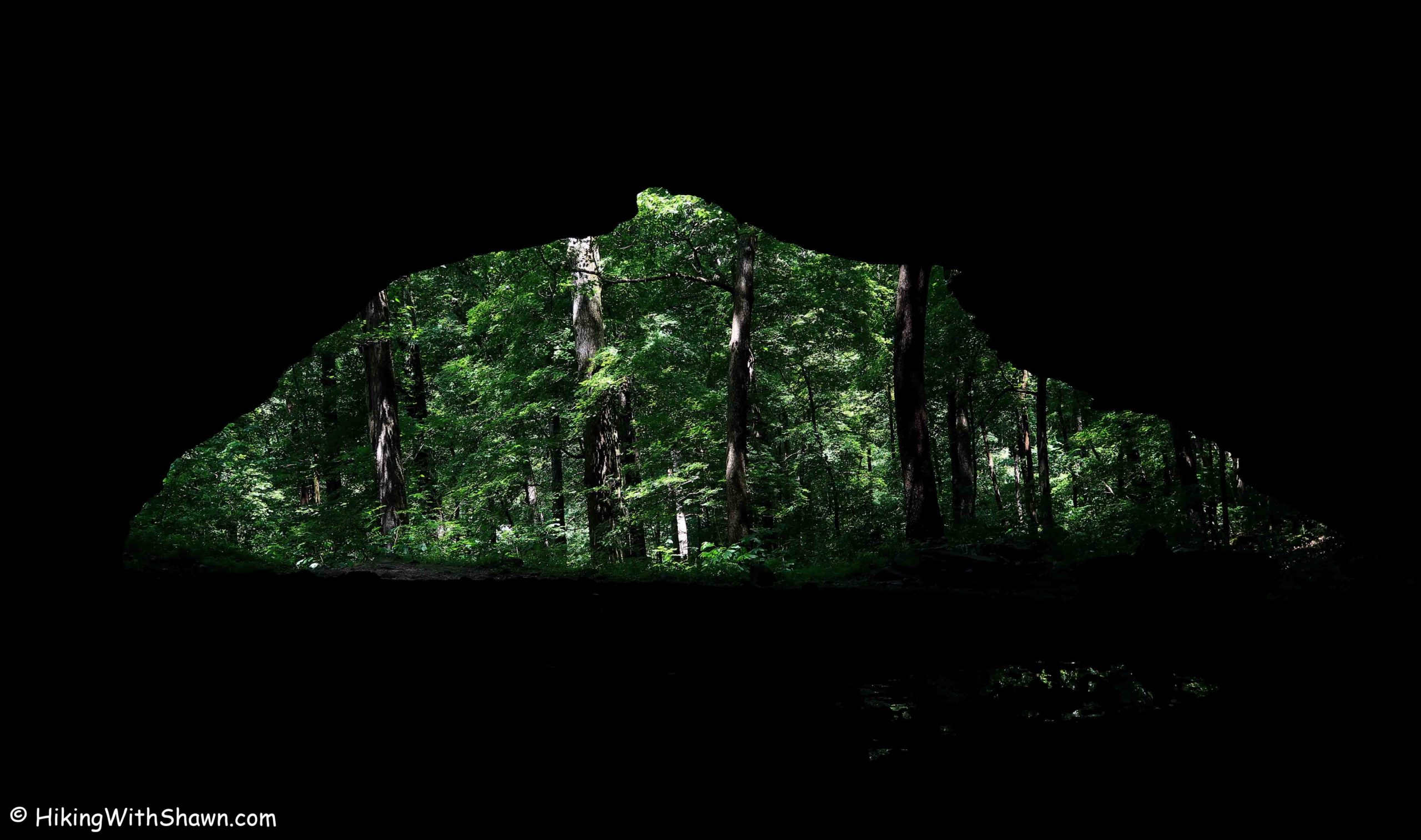
Enjoy an easy walk (with stairs) down to a 55-wide natural cave shelter. Bandits and river pirates once used this cave. Enjoy beautiful views of the Ohio River right next to the cave.
The cave will be inaccessible during river flooding.
Check out the Cave-in-Rock Cabins for lodging and the Kaylor’s Lodge for dining during your visit.
2: Rim Rock Upper Trail
Easy – .8-mile (Loop) – Google Map Directions
The upper trail at Rim Rock is the easiest hiking trail in the recreation area. You can enjoy great scenic views and bluffs. There is also an ancient Native American Stonefort present along the trail.
Use caution around the edges of bluffs to ensure your own safety.
Check out Rim Rock’s Dogwood Cabins for lodging and The Gap Bar for dining during your visit.
3: Rim Rock Lower Trail
Easy – .7-mile (Out and Back) – Google Map Directions
Enjoy tall bluffs and rocky hillsides along the lower loop of Rim Rock. You can see Ox-Lot Cave and learn about the history of the area. You can also visit the Rim Rock maze and enjoy walking around it.
Use caution around the rocks. Don’t climb on any rocks, and always watch your step.
Check out Timber Ridge Treehouse Cabins for lodging and The Gap Bar for dining during your visit.
4: Rim Rock to Pounds Hollow
Easy – .6-mile (Out and Back) – Google Map Directions
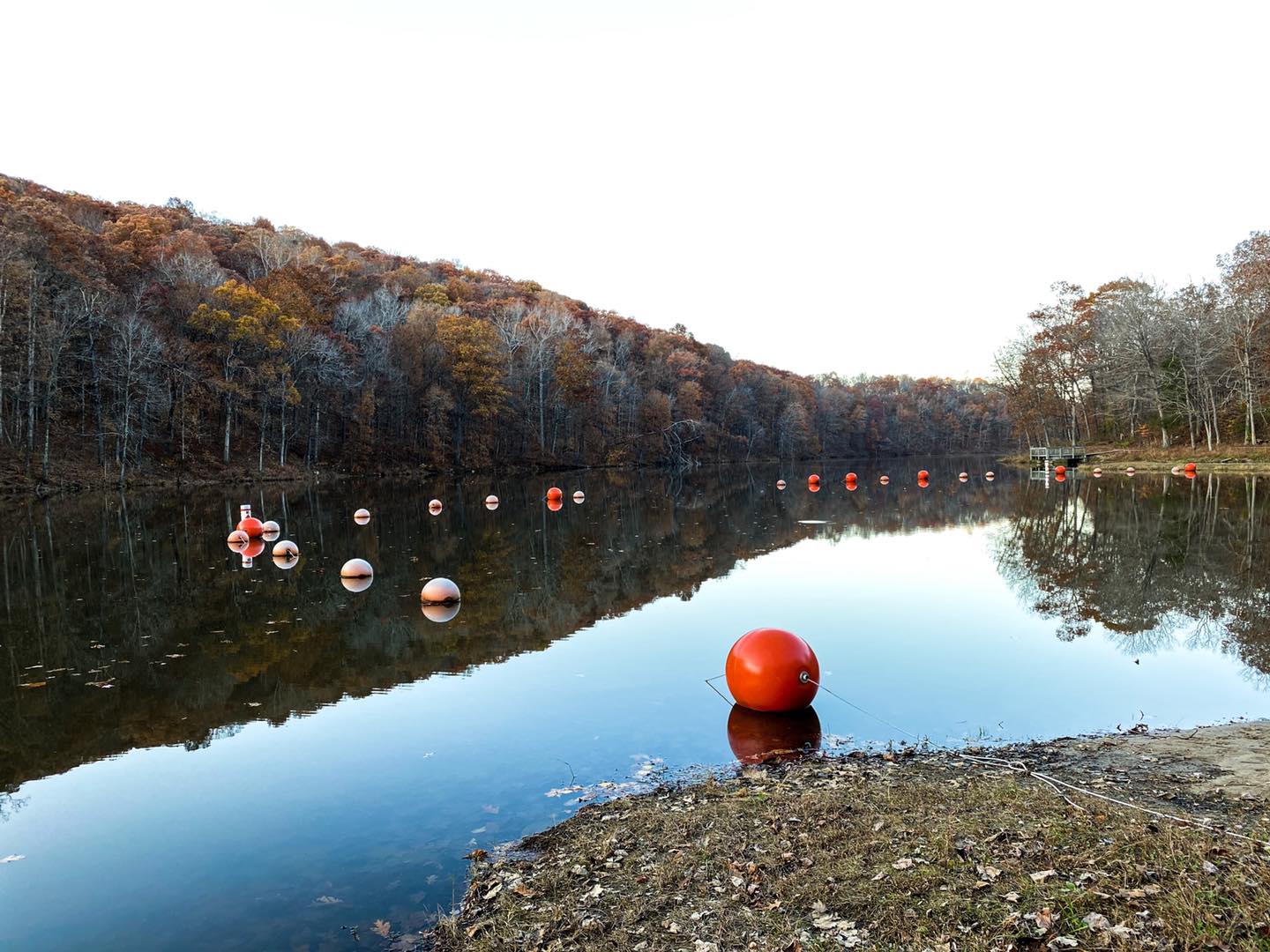
Enjoy a scenic walk along the creek that leads into Pounds Hollow Lake. See signs of the past, from old settlements to former CCC relics along the way. End your hike at Pounds Hollow Beach and enjoy a swim during the warmer months.
Be careful at the beach. There are no lifeguards, and cellphone reception isn’t usually available.
Check out Pine Ridge Campground for lodging and The Gap Bar for dining during your visit.
5: High Knob
Moderate – 1-mile (Loop) – Google Map Directions
Enjoy this beautiful loop trail with many features, including hidden cave-like areas and tall bluffs. The area used to be a fire tower location. The tower is long gone, but the scenic overlook is still amazing.
Be careful around the edges of bluffs. Some parts of the trail can be difficult for some hikers – use caution.
Check out Camp Cadiz Campground for lodging and The Gap Bar for dining during your visit.
6: Garden of the Gods Observation Trail
Easy – .5-mile (Loop) – Google Map Directions
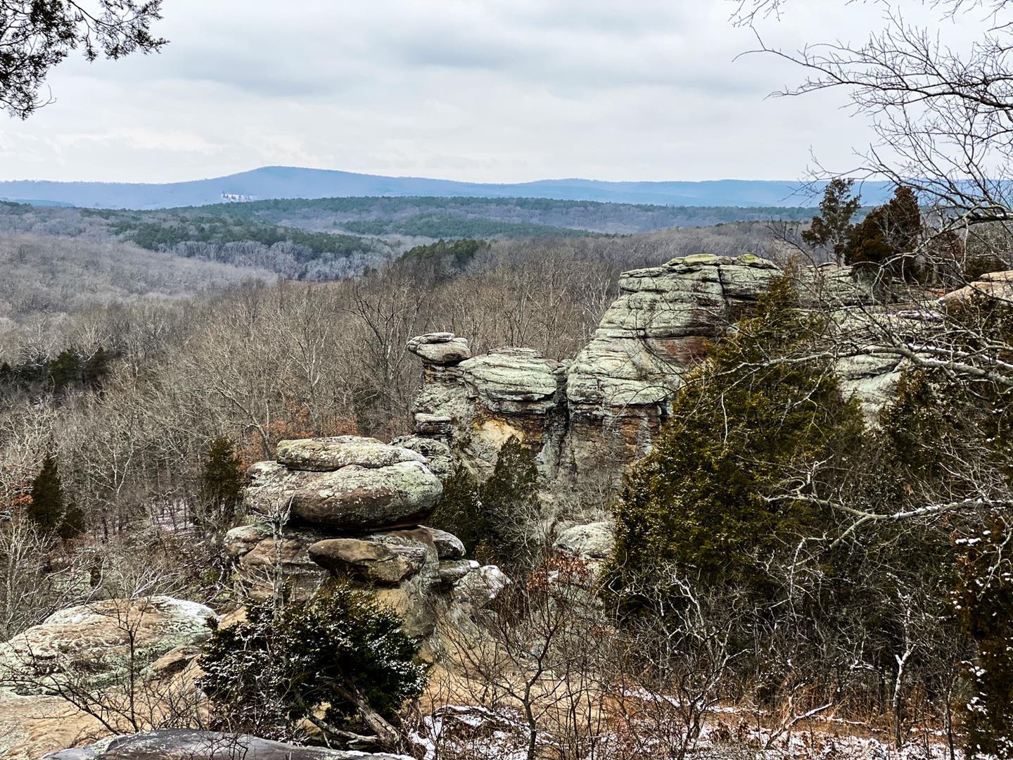
This is the most visited trail in the Shawnee National Forest. It’s because there is so much to see in such a short hike. For fewer crowds, go during the week and try to get there earlier in the day.
Use extreme caution around the edges of bluffs. People have died from falls (including children) in this area.
Check out Shawnee Forest Cabins for lodging and Garden of the Gods Outpost for dining during your visit.
7: Indian Point
Moderate – 1.7-mile (Loop) – Google Map Directions
Indian Point is a wilderness trail in the Garden of the Gods. There are many scenic overlooks and interesting natural shelters to explore. You can also park overnight and camp in this area for free.
Use caution around the edges of the bluffs. Falling from these bluffs will likely be fatal.
Check out Shawnee Forest Cabins for lodging and Harbison’s for dining during your visit.
8: Garden of the Gods Wilderness
Moderate – 6.3-miles (Loop) – Google Map Directions
This is another wilderness loop within the Garden of the Gods. This loop is longer and a great choice for overnight backpacking trips. There are many gems to see along this trail.
This area has two venomous snakes, including copperheads and timber rattlesnakes. Please watch your step and use caution when hiking in the wilderness.
Check out Shawnee Forest Cabins for lodging and Mitchellsville Country Store for dining during your visit.
9: Iron Furnace
Easy – 100 feet – Google Map Directions
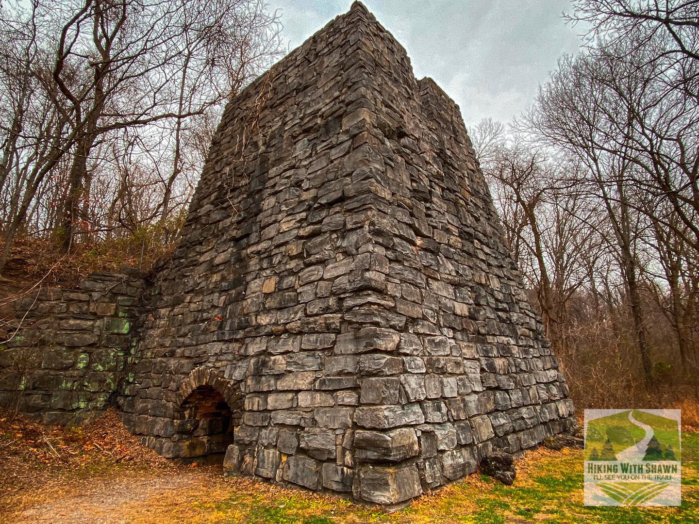
This picnic site features a replica Iron Furnace which was once widely used in the area. Enjoy a very short walk to the furnace. There is plenty of signage to give some history of the area. People enjoy swimming in the creek across the road during warmer days.
Do not attempt to climb the furnace. It is dangerous and prohibited by the US Forest Service.
Check out Shawnee Forest Cabins for lodging and Garden of the Gods Outpost for dining during your visit.
10: Stone Face
Moderate – 1.6-miles (Out and Back) – Google Map Directions
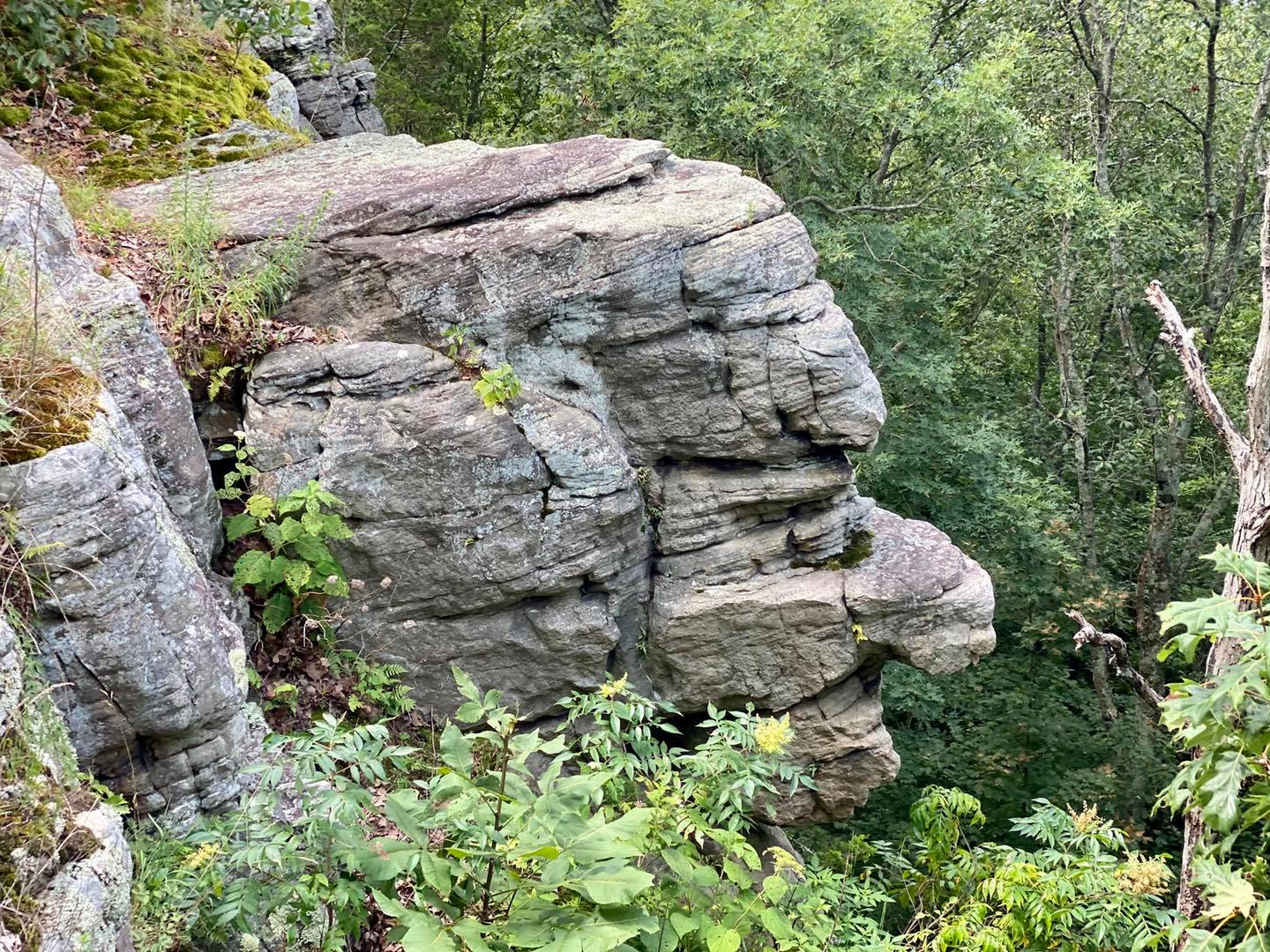
Stone Face is a short out-and-back trail leading to a rock formation resembling a head and face. Many people have visited it for many decades. Hike past the rock formation for an epic view of the Shawnee National Forest.
Use caution around the edges of bluffs in this area. The switchback to go up can be tricky when wet or icy.
Check out Stone Face Manor for lodging and The Red Onion for dining during your visit.
11: One Horse Gap
Moderate – 5.1-miles (Loop) – Google Map Directions
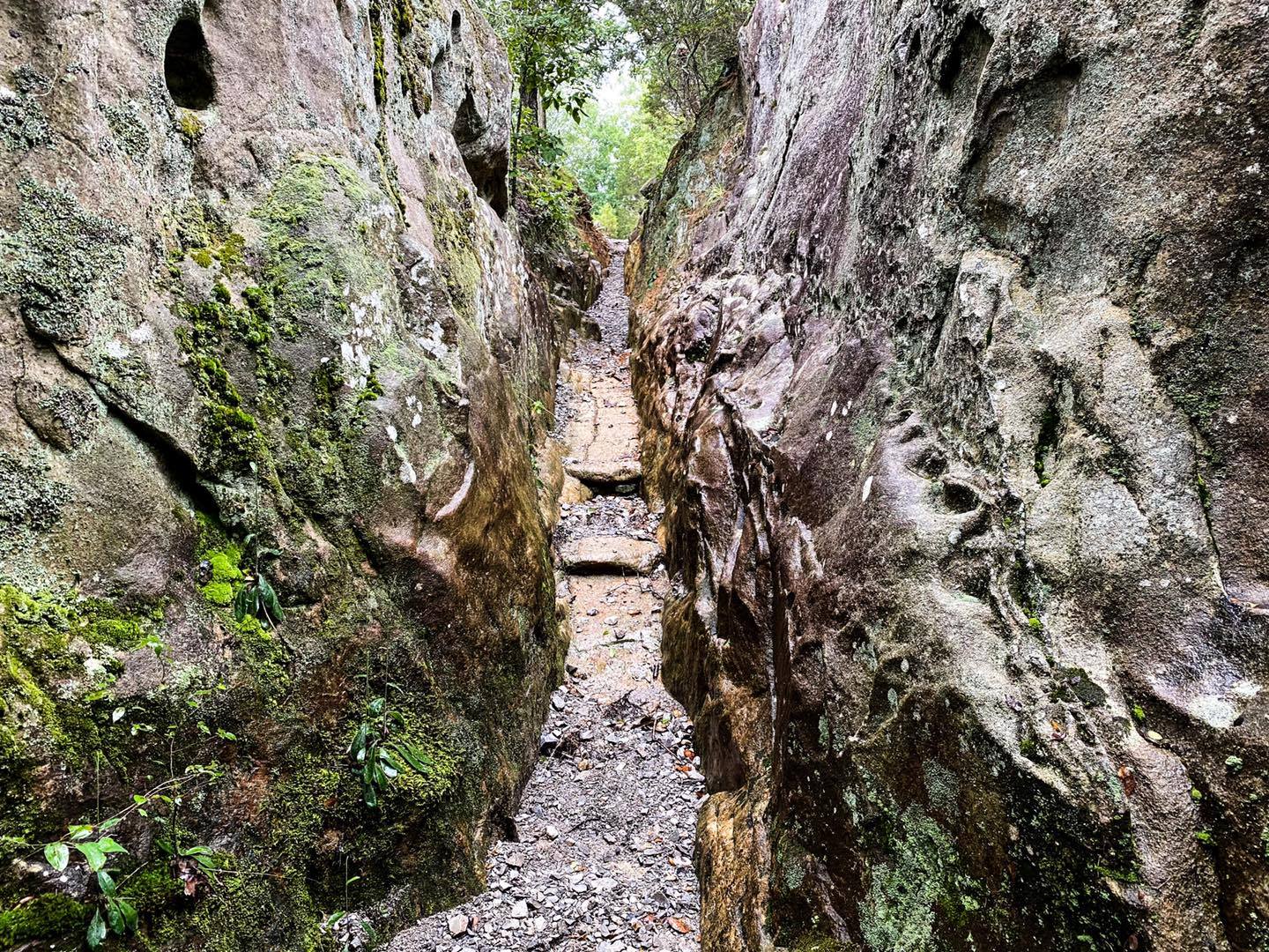
Enjoy a nice hike with bluffs, scenic creeks, and waterfalls. Then enjoy the One Horse Gap, a gap between rocks that can fit one horse at a time through it. Keep hiking past the Gap to go see the Rocky Top Overlook.
Use caution around the edges of the bluffs. Rattlesnakes occur in this area.
Check out Willow Brook Cabins for lodging and The Gap Bar for dining during your visit.
12: Indian Kitchen
Moderate – 3.5-miles (Out and Back) – Google Map Directions
Enjoy a nice out-and-back hike to an area once used by archaic Native Americans. There is even an old stone fort near the end of the trail. During the warmer months, people enjoy wading and swimming in the creek at the trail’s end.
Use caution in this area. There are venomous snakes and dangerous cliff edges in this area.
Check out Willow Brook Cabins for lodging and Shotgun Eddy’s for dining during your visit.
13: Millstone Bluff
Moderate – .9-mile (Loop) – Google Map Directions
Enjoy this hike with many things to see and much educational signage. This whole area used to be a Native American village. Rock art, a cemetery, a community, and even a stone fort exist.
Please stay on the trail, be careful about the edges of the bluffs, and watch your step.
Check out Oak Point Campground for lodging and Shotgun Eddy’s for dining during your visit.
14: Burden Falls
Moderate – 1.2-miles (Out and Back) – Google Map Directions
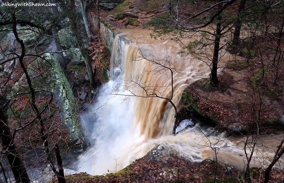
Enjoy one of the tallest waterfalls in the Shawnee National Forest. There are several smaller waterfalls along the upper portion of the area. It is a wilderness, so you can camp in it for free if you want to.
Use extreme caution in this area. People have died here from falling.
Check out Red Bud Campground for lodging and Murphy’s Pit BBQ for dining during your visit.
15: Bell Smith Springs Yellow Trail
Moderate – 1.4-miles (Out and Back) – Google Map Directions
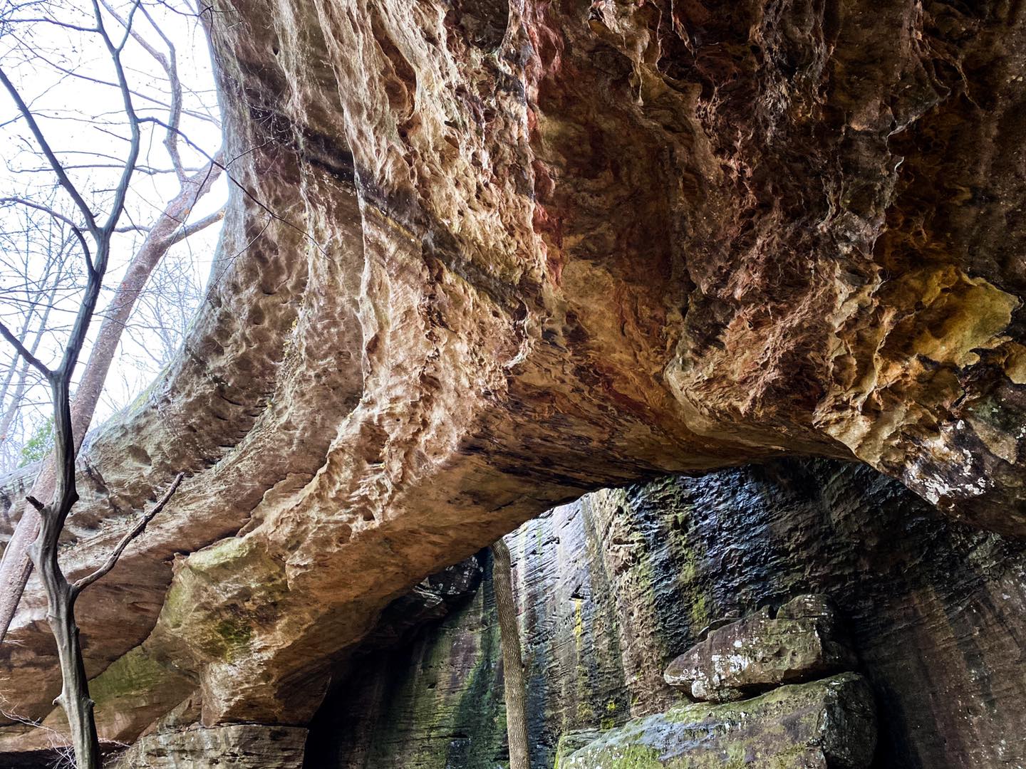
Enjoy a hike through one of the most scenic recreation areas in the Shawnee National Forest. Walk down (and back up!) the historic CCC staircase. Go see the largest Natural Arch in the state of Illinois, and if you are lucky, a waterfall might be shooting through it.
A creek crossing is required on this hike. During flood conditions, the creek may be impassible.
Check out Red Bud Campground for lodging and Murphy’s Pit BBQ for dining during your visit.
16: Jackson Falls
Moderate – 4.2-miles (Out and Back) – Google Map Directions
Enjoy a hike along an amazing canyon of different large boulders and waterfalls of all sizes. Jackson Falls is a world-famous climbing and bouldering destination. You can also camp in this area for free.
Please use caution around the edges of bluffs and the waterfall. People have fallen to their deaths at this location.
Check out Red Bud Campground for lodging and Murphy’s Pit BBQ for dining during your visit.
17: Sand Cave
Easy – 1.2-miles (Out and Back) – Google Map Directions
A short hike to one of the deepest cave shelters in the Midwest. Park at the end of the road, but don’t block any driveways. Enjoy bluffs and more in this area during your visit. This is an Underground Railroad site.
Use caution along the trail where illegal ATVs have created large mud holes.
Check out Shawnee Hills Glamping for lodging and Shotgun Eddy’s for dining during your visit.
18: Tunnel Hill State Trail
Easy – 19 miles (Out and Back) – Google Map Directions
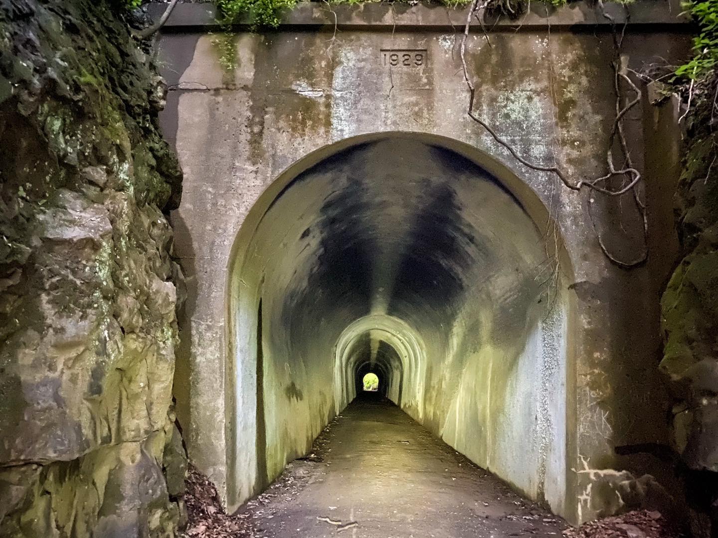
While you can hike this trail, it’s better to bike it. It’s recommended to use a hybrid, mountain, or gravel bike as the trail is made up of mainly crushed limestone. This is an old railroad system turned into a bike trail. Enjoy many different trestles and a 500+ foot train tunnel that you can bike through.
Always wear a helmet when biking and ride with a friend if you can.
Check out Shawnee Forest Campground for lodging and Vienna Diner for dining during your visit.
19: Heron Pond
Easy – 1.5-miles (Out and Back) – Google Map Directions
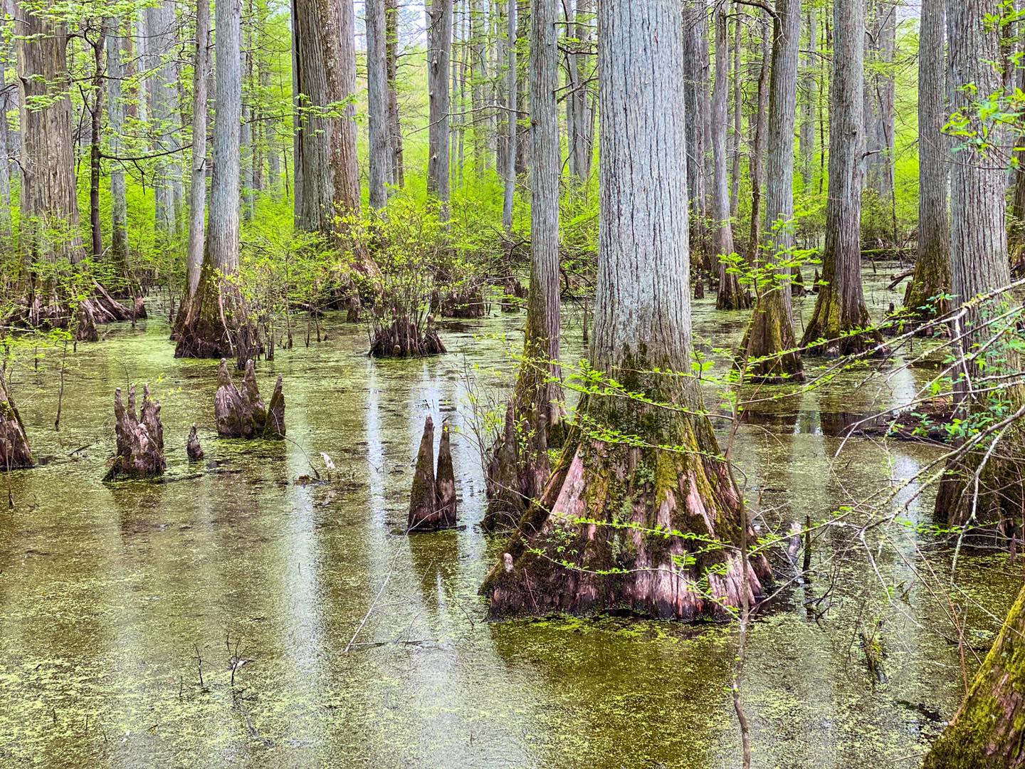
Enjoy a hike along what used to be a natural sight around southern Illinois. This swampy area looks like something you’d find in Louisiana or somewhere on the Bayou. A large oak tree and a boardwalk allow you to walk on top of the swamp.
Venomous snakes occur in this area. Use insect repellent when visiting this area, as mosquitoes and biting flies are thick during the warmer months.
Check out Main Brothers Campground for lodging and Ned’s Shed for dining during your visit.
20: Big Rocky Hollow
Easy – .7-mile (Out and Back) – Google Map Directions
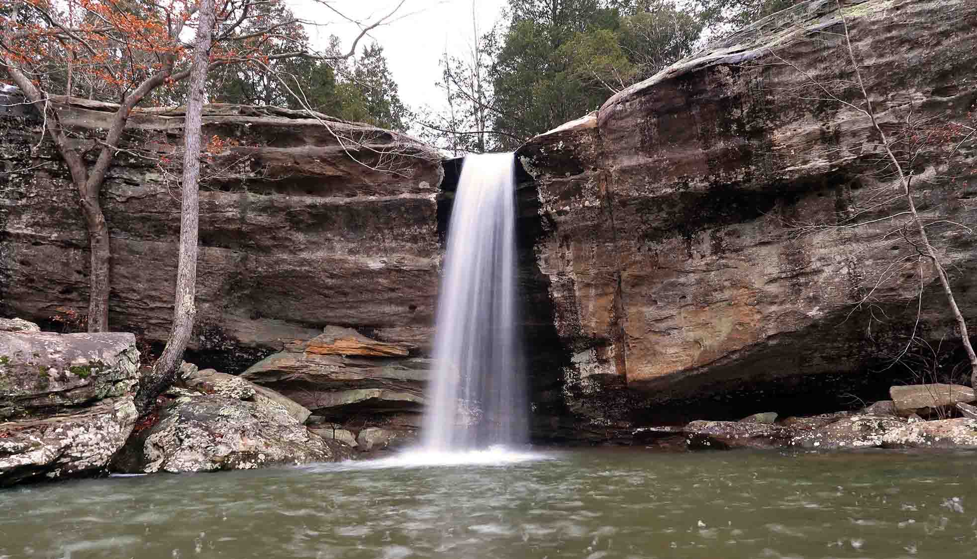
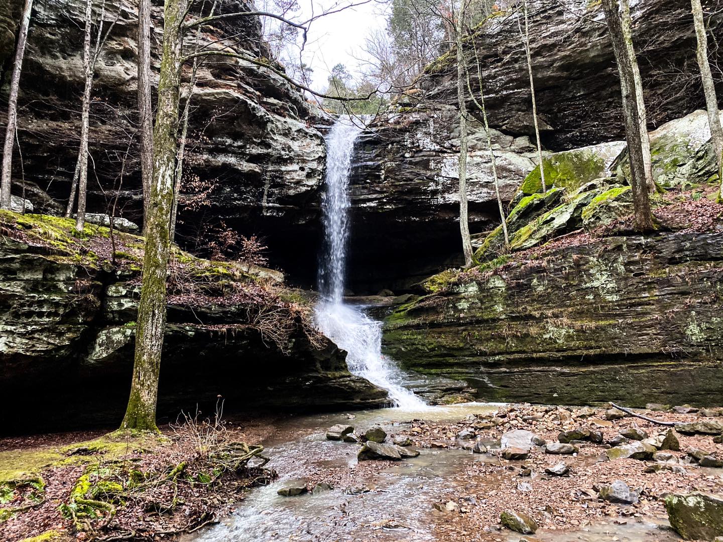
Enjoy an easy hike to a tall waterfall. On the wettest days, there will be multiple waterfalls all along the trail. The trailhead leads to three other shorter trails with many features, including waterfalls along most of them.
Do not use unauthorized trails. Do not attempt to climb to the top of the waterfall. Falls from this area have resulted in death.
Check out Cedar Rock Cabins for lodging and Whiffle Boy’s Pizza for dining during your visit.
21: Panther Den Wilderness
Moderate – 3-miles (Loop) – Google Map Directions
Enjoy a short hike to amazing bluffs that resemble hidden dens that wildlife would likely live in. There are some interesting rock formations in this area. There are scenic creeks and waterfalls when the area is wet. Since it is a wilderness, you are allowed to camp for free.
Use caution – this is a wilderness area in which you could get lost. Stay on the designated trail at all times.
Check out Rocky Comfort Cabins for lodging and Blue Sky Vineyard for dining during your visit.
22: Rocky Bluff
Moderate – 1.9-miles (Loop) – Google Map Directions
This trail features amazing waterfalls, scenic creeks, and old signs from the past. You can connect with the Wild Turkey Trail to make it slightly longer (Out and Back). A Crab Orchard Refuge Sticker is required on vehicles to drive to and park in this area.
Use caution around the edges of creeks and cliffs. Use caution along the trail when it is wet.
Check out Devils Kitchen Campground for lodging and Giant City Lodge for dining during your visit.
23: Trillium Trail
Moderate – 1-mile (Loop) – Google Map Directions
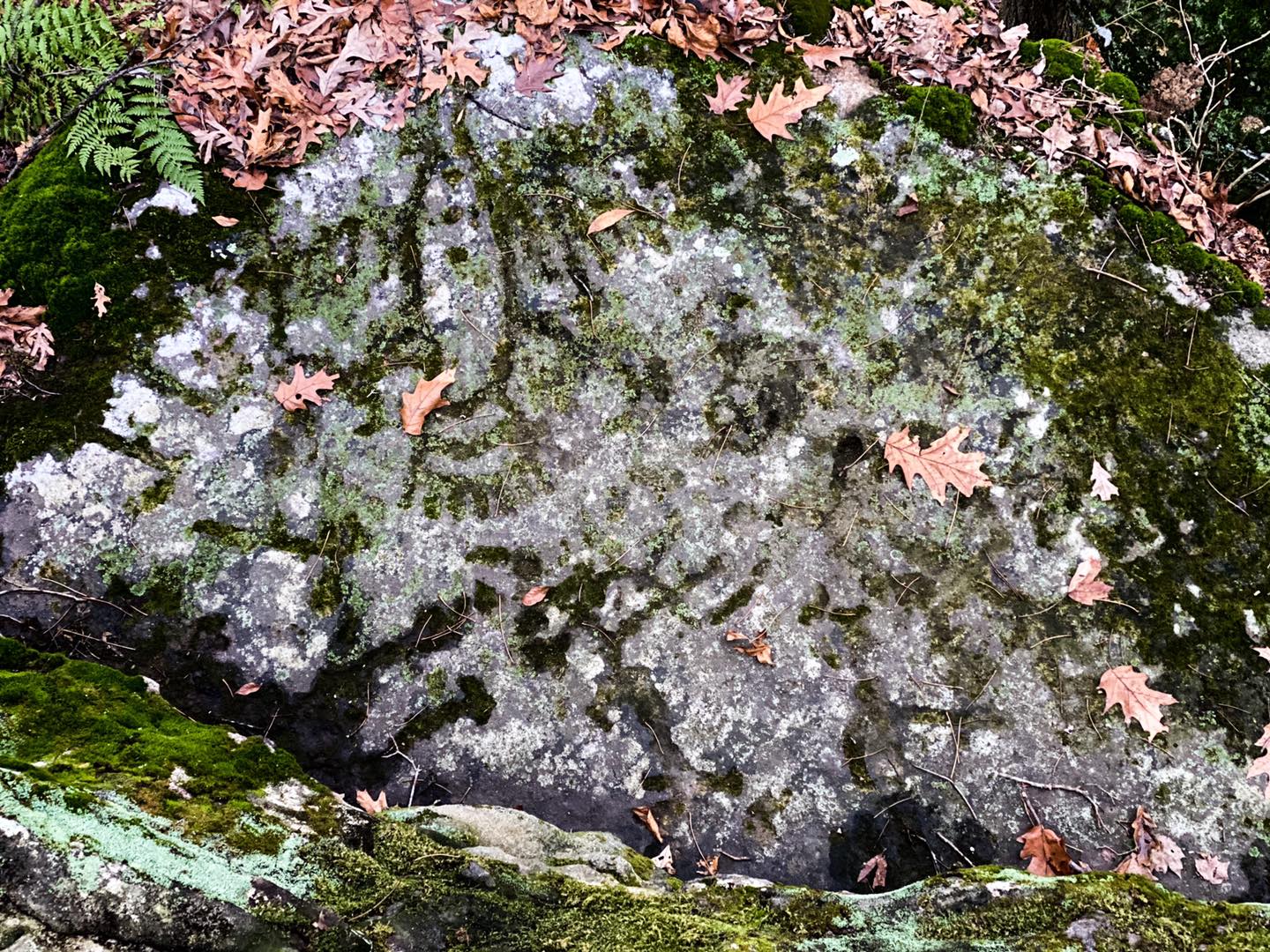
This is a nature preserve (please stay on the designated trail only). You’ll be able to see Trillium plants along with other precious vegetation. This trail has unique natural shelters, scenic overlooks, and tall bluffs. There are also many carvings in certain areas along the trail.
Use caution around the edges of cliffs on the upper portion of the trail.
Check out Makanda Inn for lodging and Giant City Lodge for dining during your visit.
24: Cove Hollow to Cedar Lake Trail
Moderate – 5.5-miles (Out and Back) – Google Map Directions
Enjoy a hike along Cedar Lake. On this hike, you’ll scramble over bluffs and rocks until you reach a large natural shelter with a waterfall when the area is wet. You’ll enjoy scenic views of the lake and backcountry scenes in the area. You can also camp in this area for free.
Please use caution around the rocks and cliff edges. Use caution around the lake. Swimming is prohibited.
Check out Tomcat Hill Cabins for lodging and 17th Street BBQ for dining during your visit.
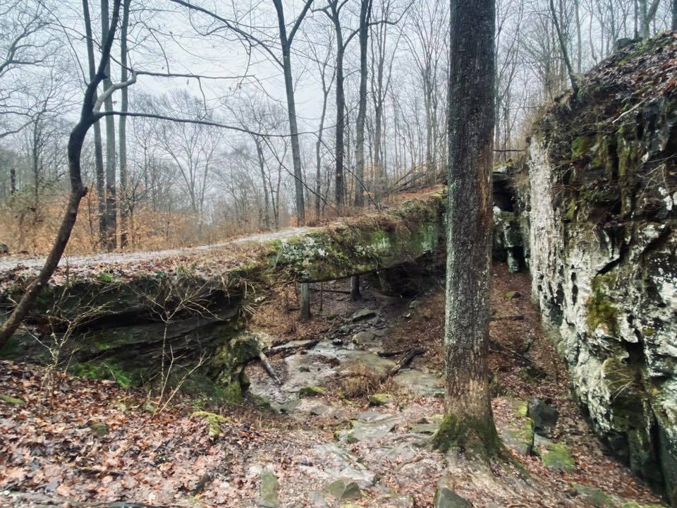
25: Pomona Natural Bridge
Easy – .3-mile (Loop) – Google Map Directions
Enjoy a short hike to a very historical and locally famous natural bridge. You can walk across the bridge and get under it by trail. During wetter conditions, there are nice waterfalls in the area. There is a picnic area on top.
Use caution around the top portion of the natural bridge. Falling would likely result in severe injuries or death.
Check out Cornerstone Cabins for lodging and Pomona Winery for dining during your visit.
26: Little Grand Canyon
Moderate – 3.4-miles (Loop) – Google Map Directions
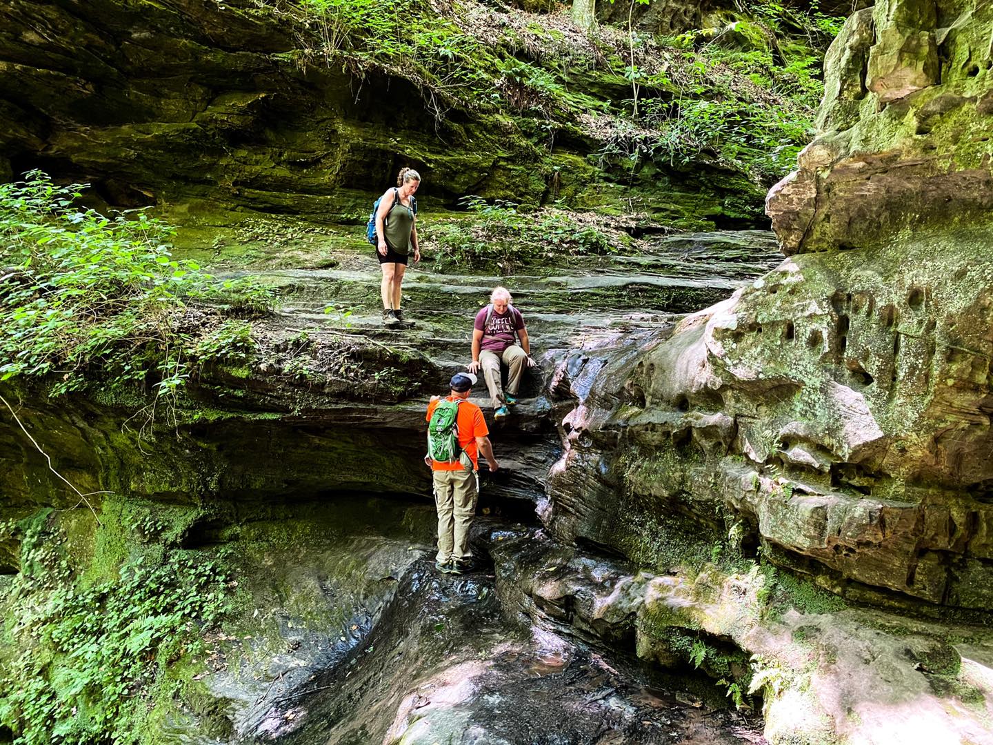
Enjoy a strenuous hike up and down a canyon. The trail consists of a waterfall cascade which is very scenic. While the trial can be tough to hike, there are many interesting things to see along the way. You’ll enjoy waterfalls, bluffs, shelters, and more.
Venomous snakes occur in this area. The trail will become very hazardous when wet or icy. Use extreme caution on this trail.
Check out Turkey Bayou Campground for lodging and Mase’s Place for dining during your visit.
27: Inspiration Point
Moderate – .7-mile (Out and Back) – Google Map Directions
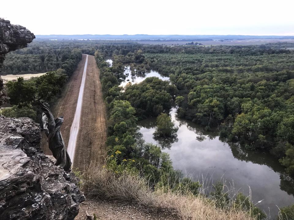
Inspiration Point is one of the highest scenic overlook destinations in the Shawnee National Forest. You’ll oversee the Big Muddy River Basin and loom out toward the Mississippi River bottoms. It isn’t uncommon to see Bald Eagles from this point.
Please use extreme caution when making your way to the point. People have fallen and died as a result of this area.
Check out Turkey Bayou Campground for lodging and Bunmakers by Carter and Co for dining during your visit.
28: Snake Road
Easy – 2.5-miles – Google Map Directions
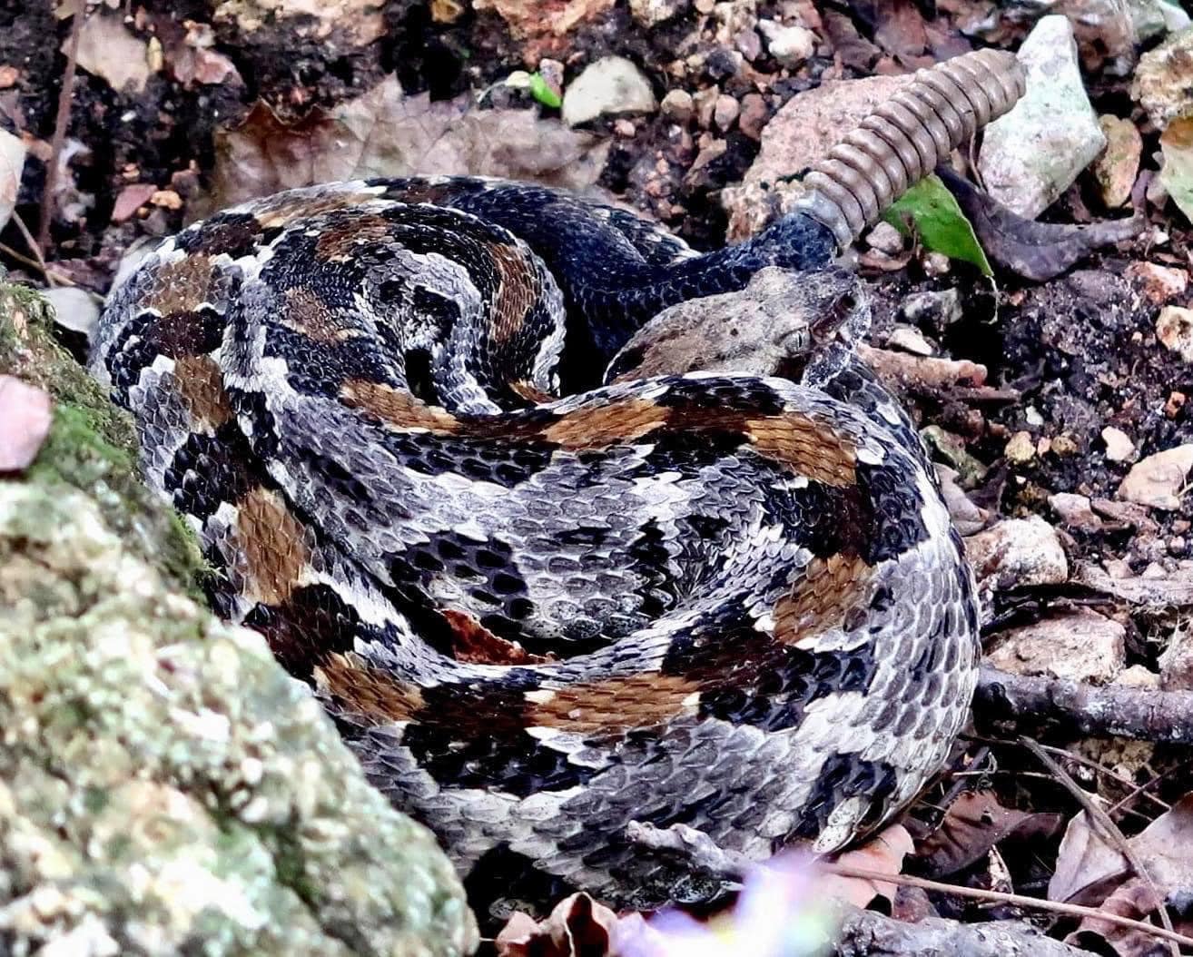
LaRue Pine Hills Snake Road is one of the most interesting roads in the world. It’s the only road closing twice yearly for snakes to migrate across. It’s best to visit during the closure. Foot traffic is allowed. You’ll see more snakes here than anywhere else in the Shawnee.
You will encounter more venomous snakes on this road than any other snake. Handling, collecting, or harming snakes is highly illegal on this road.
Check out Pine Hills Campground for lodging and Dinner Bell Too for dining during your visit.
29: River to River Trail
Hard – 160 miles (Point to Point) – Google Map Directions
The River to River Trail spans from the Mississippi River to the Ohio River and gives you a tour of some of the best of the Shawnee, State Parks, and National Wildlife Refuge areas in southern Illinois. Many people hike this trail each year, but you’re more than welcome to section hike it if you would rather do that.
Please make sure you follow safety practices while using this trail. Ensure that you plan out your hike before you visit the trail.
Check out Devil’s Backbone Campground for lodging and Bottoms Up Grill for dining during your visit.
And that was 29 great hiking trails in the Shawnee National Forest. You’re missing out if you haven’t checked out some or all of these trails yet. You should check them out as soon as you’re able to. If you’ve enjoyed reading this article and would like to support me in creating it, consider leaving a small donation or supporting me every month for as little as $3 a month. Subscribe to my free monthly newsletter for more Shawnee National Forest hiking information and resources.
PLEASE SUPPORT HIKING WITH SHAWN
Alrighty folks, I hope you have enjoyed this content. I provide it for free and it takes a while to create. If you would be so kind enough to support my efforts, you can do so by sharing this post with others, especially on social media. Be sure to subscribe to my YouTube Channel to see my latest videos, shorts and live streams. Follow me on Facebook, Instagram, Twitter and TikTok for unique content that you will only find on those pages. You might also join my Southern Illinois Hiking & Outdoor Resources Group on Facebook, too!
You can also support me by becoming a Patreon Supporter for as little as $3/month and you can cancel anytime (no contracts or catches). Patreons get access to extra features, exclusive articles, sticker packs, gifts and more. Consider buying official Hiking with Shawn Merchandise as another way to support me. I spend a lot of money on Hiking with Shawn and because of extremely high public land permit fees, I make very little money in return so everything helps.
Thanks again for checking out another one of my articles and until next time, I’ll see you on the trail!
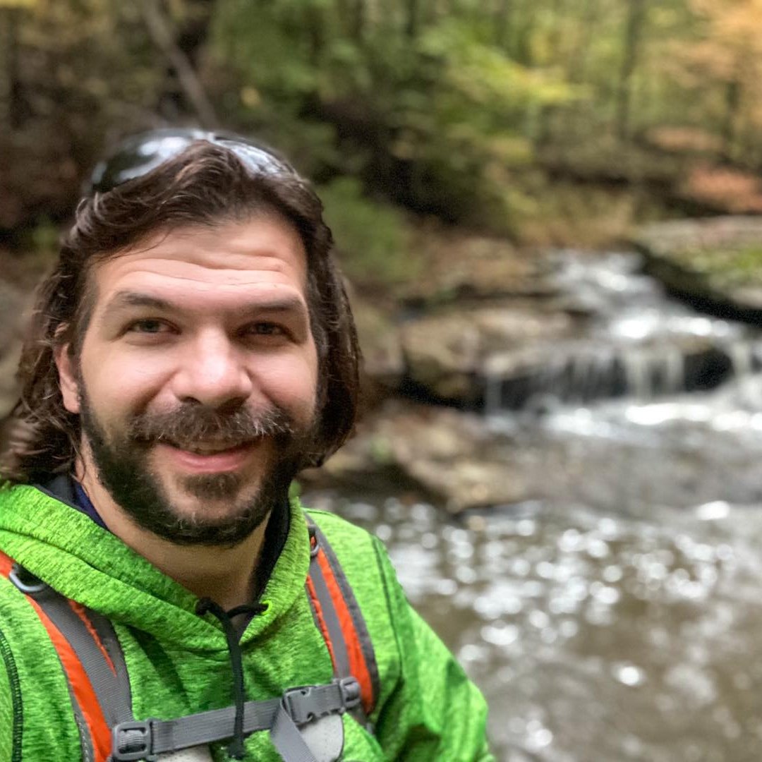
SHAWN GOSSMAN
Founder, Hiking with Shawn
Howdy folks! My name is Shawn Gossman and I founded Hiking with Shawn. I’m an avid hiker, cyclist and outdoorsman here in the Shawnee National Forest. I was born and raised in Southern Illinois and never want to leave. I hope you enjoy my website and I encourage you to interact with me!

