20 Roadside Attractions in the Shawnee National Forest
Looking for some great roadside attractions in the Shawnee National Forest?
Is it hard for you to go hiking? Maybe it is even hard to get out of the car. This article is mainly for you. I wanted to create an article that resonates with those of you who can’t exactly get to the Shawnee National Forest locations like any other hiker.
Instead, I wanted to share locations you can drive right up to and see right from your car or by stepping out and walking a few feet.
I hope you enjoy this article and are able to visit all the places listed below.
Roadside Attractions in the Shawnee National Forest
The following roadside attractions in the Shawnee National Forest are scattered throughout the National Forest from west to east.
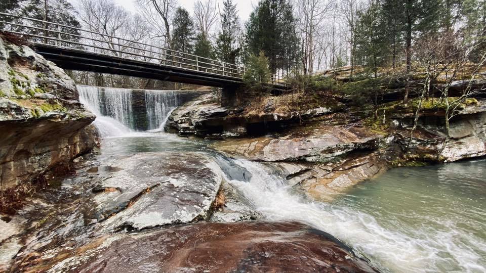
1 – Kinkaid Spillway
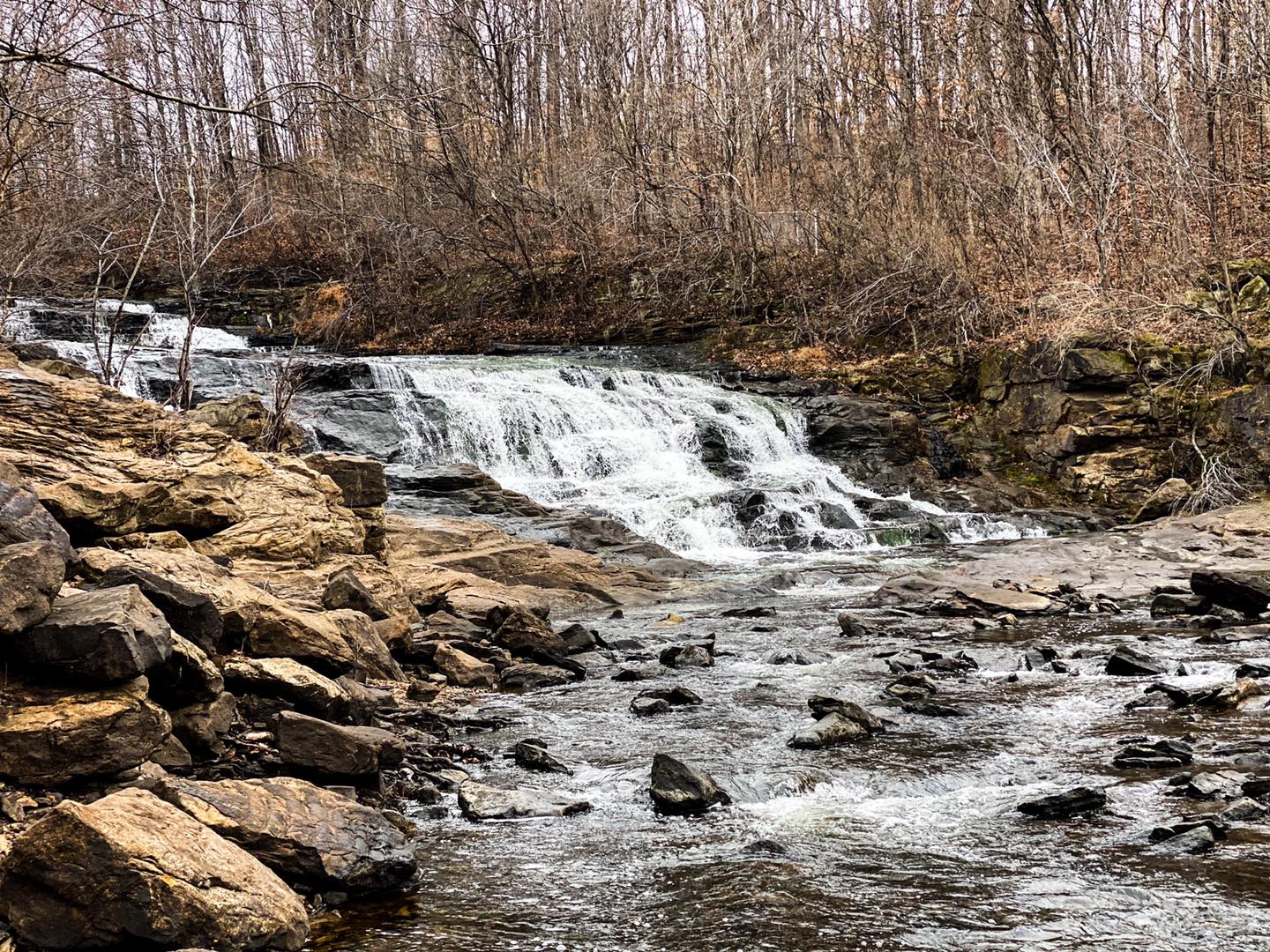
You can drive right up to the spillway area and view the waterfall from your vehicle. If you wish to get out of your vehicle, you don’t have to walk out of sight to see this beautiful spillway waterfall.
This attraction is close to Murphysboro, Illinois. Here are the Google Maps Directions for the best way to get there from Murphysboro.
This place is best visited after multiple days of moderate to heavy rainfall. It will likely be dry during drought weather.
The parking area is large, and the roads to the attraction are paved. The Illinois Department of Natural Resources manages this area.
2 – Preacher’s Eye
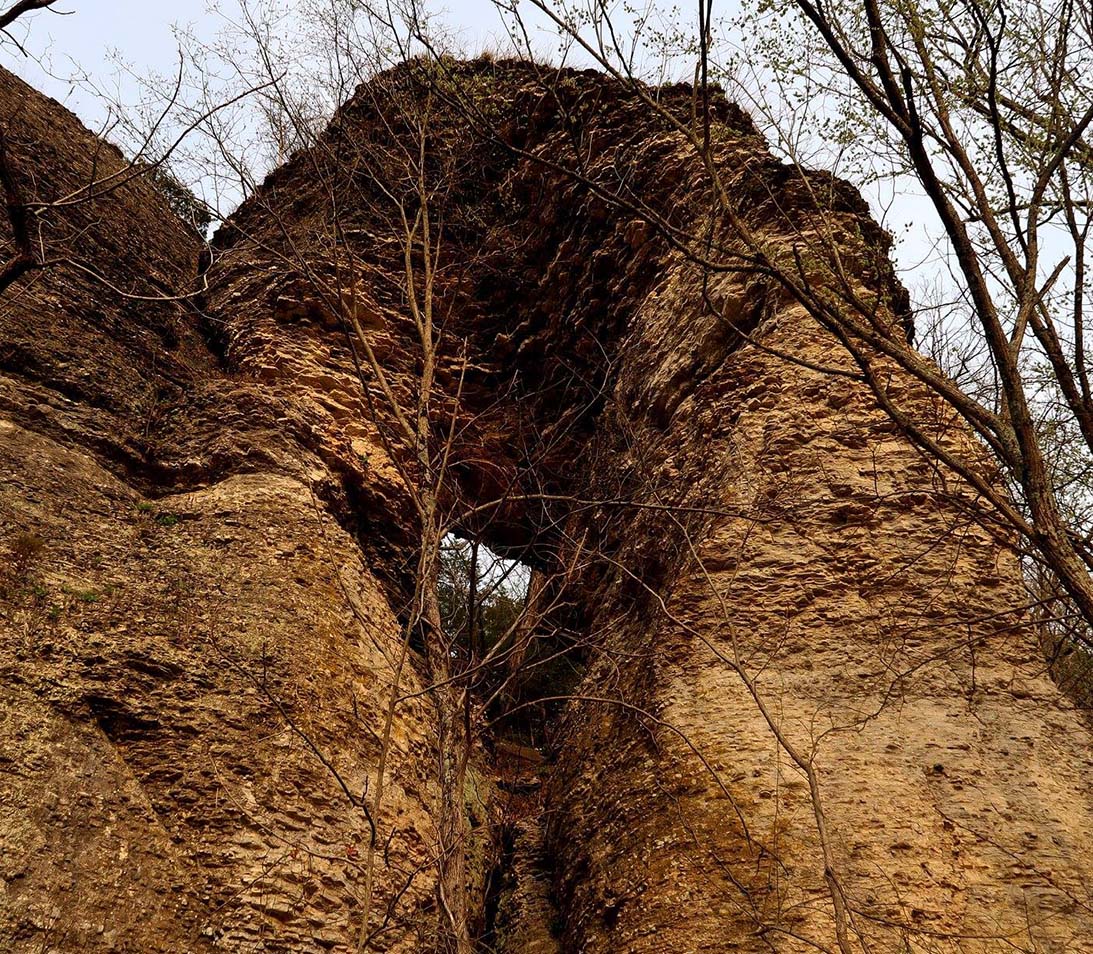
Preacher’s Eye is one of those roadside attractions of the Shawnee National Forest worth seeing during the winter months. It is a large natural window attached to a bluff along the Forest Service Road nicknamed Snake Road.
The site is close to the Village of Wolf Lake. Here is the Google Maps Link for the best way to get to this spot.
It’s best to visit this site during the winter when the leaves are off the trees. The road closes two times a year to vehicles for snake migration. The area can get quite buggy during the warmer months.
The roads to this location are mainly gravel and have multiple potholes. Please drive carefully. This area is managed by the US Forest Service – Shawnee National Forest.
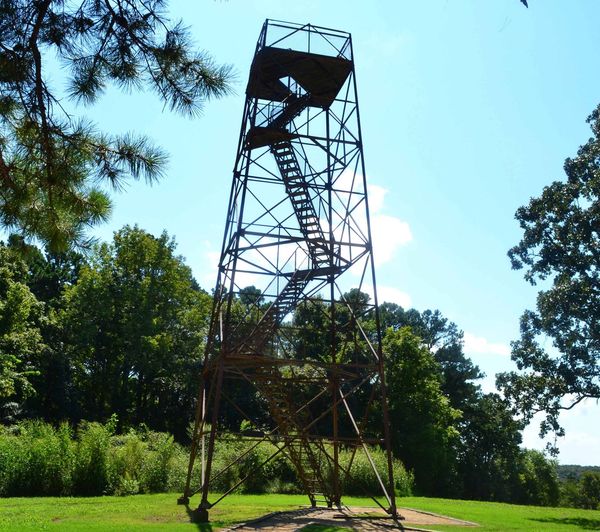
3 – Union Lookout Tower
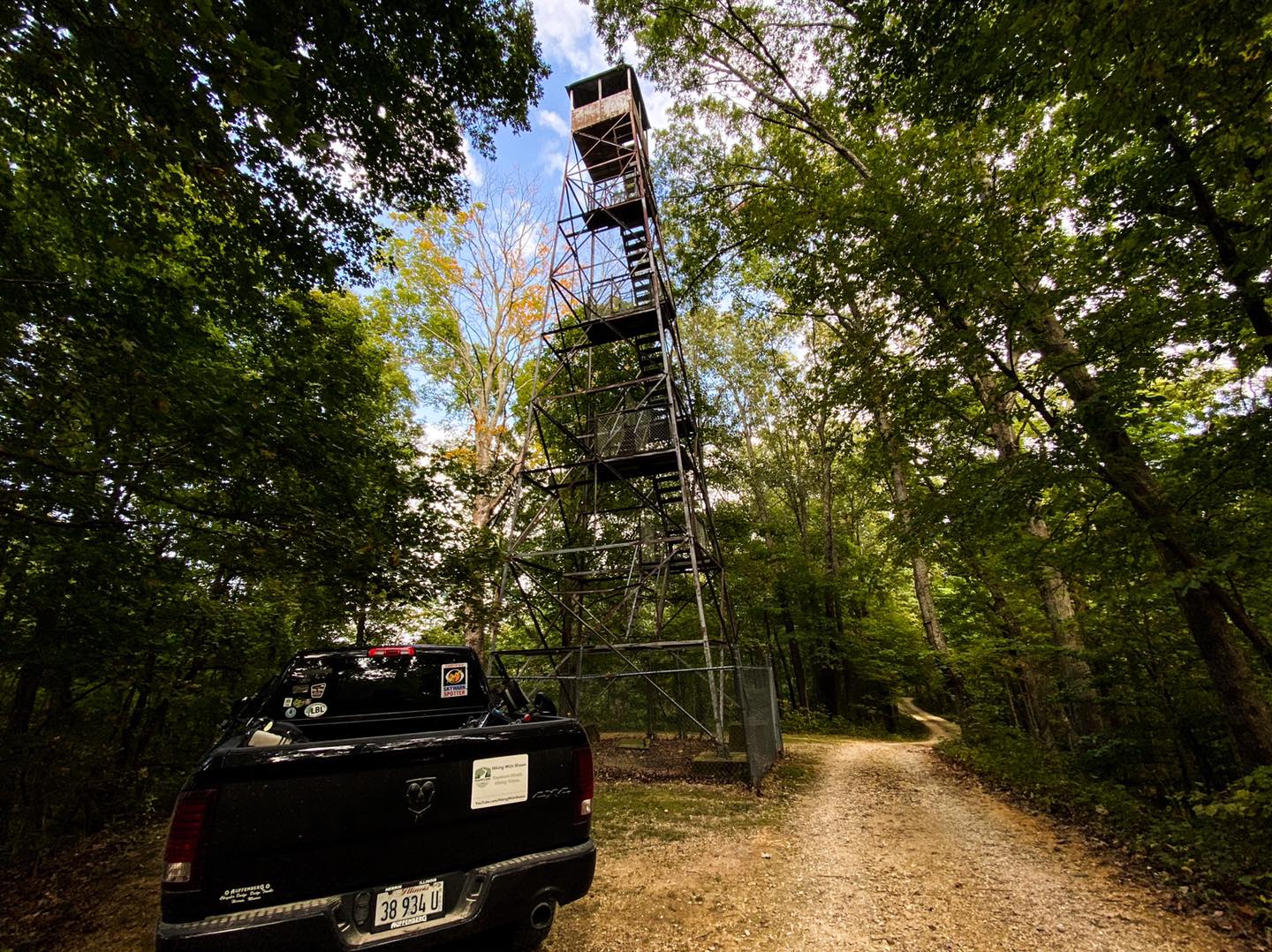
Union Lookout Tower is a former wildfire watch tower located within the Trail of Tears State Forest. You can drive right to the tower and look at it from inside the comforts of your vehicle. Climbing this tower is prohibited, and a fence has been constructed around it.
The tower is close to the Village of Wolf Lake. Use this Google Maps Link for the best directions to this fire tower.
The best time to visit this area is during non-hunting season. The roads are closed during the winter months.
Roads within the area are one-way, often narrow, and made up of gravel and dirt. Please use caution when traveling on them. The Illinois Department of Natural Resources manages this site.
4 – Rock Springs Hollow
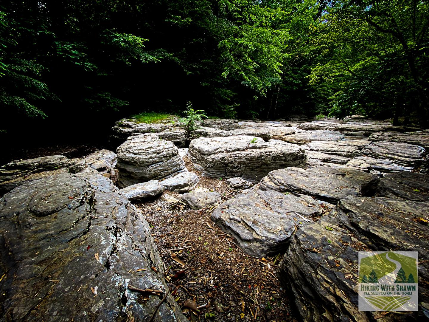
Rock Springs Hollow is actually on private property, but the landowners appear to welcome visitors who leave no trace. It’s a very interesting area where ancient waters have carved through large rocks in the creek, creating a Shut-Ins type environment. You can drive right to it and view it from the parking lot.
This site is close to Thebes, Illinois. Use this Google Maps Link for the best route to this location.
It’s best to visit this area during leaf-off and not during hunting season.
Roads to this location are paved. The parking lot does not have many parking spaces available. It could be busy during the warmer months, especially on the weekends.
5 – Fort Defiance State Park
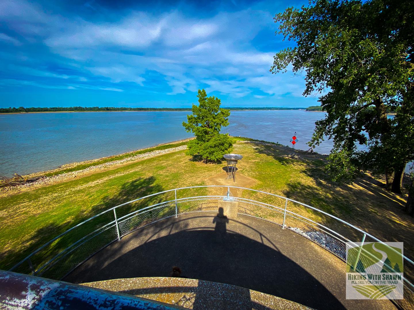
Fort Defiance State Park is one of the most southern roadside attractions in the Shawnee National Forest area. This state park is the most southern in Illinois you can get. You can see the confluence of the Mississippi River and Ohio River at this location.
This site is in the City of Cairo, Illinois. Use this Google Maps Link for the best directions to this state park.
You can visit this area any time during the year. This is for day use only.
Roads to this park are paved. The Illinois Department of Natural Resources manages this state park.
6 – Mermet Lake
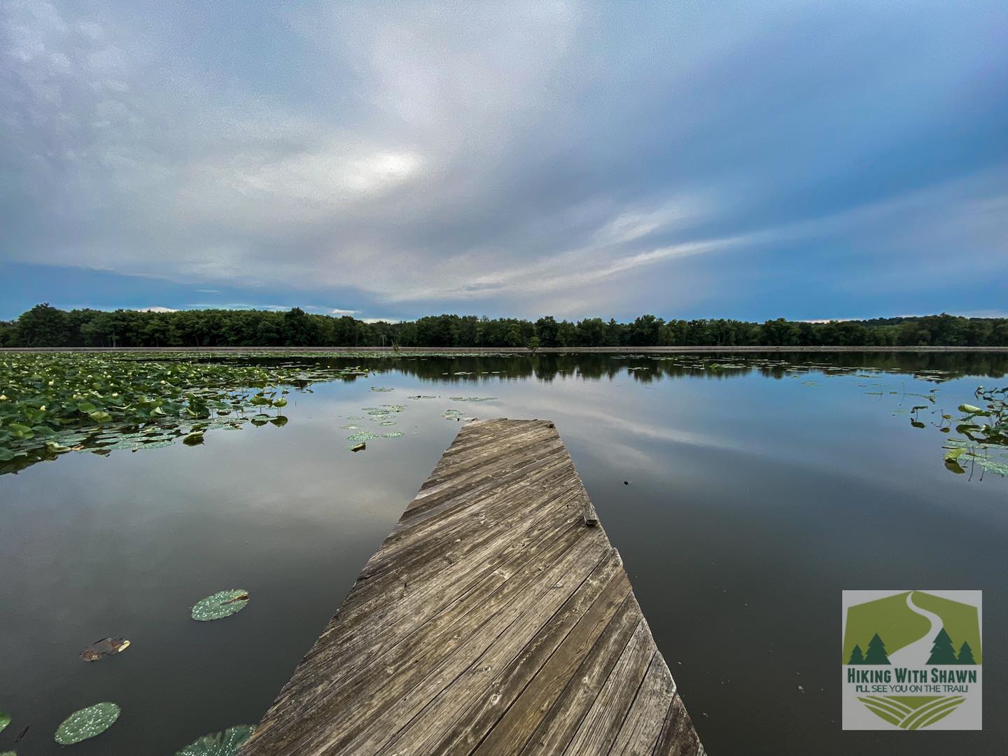
Mermet Lake is a swamp-like lake and forest area. You can drive the entire shoreline of the lake on a one-way gravel road. On your drive, you can see a variety of different wildlife, including snakes, herons, egrets, and even bald eagles.
The site is close to the City of Metropolis, Illinois. Use this Google Maps Link for the best route to drive to Mermet Lake.
You can visit this area most days throughout the year. The area is closed during some hunting seasons and events. You can access the area during the day or nighttime hours.
The roads to this site are paved. The road around the lake is a one-way gravel road. Please drive slowly and be mindful of wildlife. The Illinois Department of Natural Resources manages this area.
7 – Giant City State Park
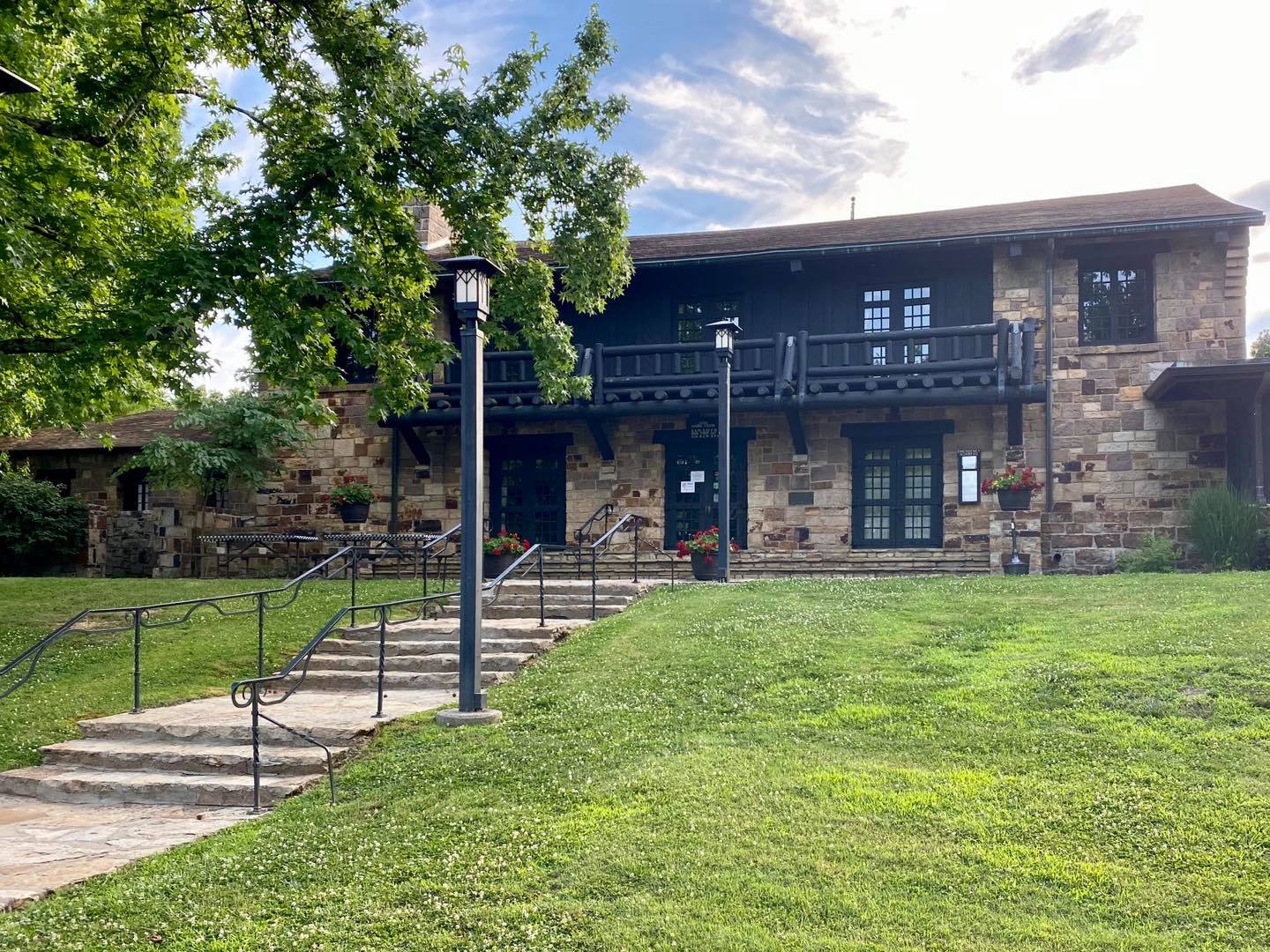
Giant City State Park offers many of the best roadside attractions in the Shawnee National Forest that can be easily viewed by car. Some notable spots include the CCC-built lodge, shelter 1 exposed bluff, different bluffs beside the road throughout the park, and various picnic areas along the scene creeks.
This park is close to the Village of Makanda, Illinois. Use this Google Maps Link for the best route to the park.
Giant City State Park is open all year round for driving and roadside attractions. It is for day use only.
The roads are paved to and throughout the state park. There are some steep hills throughout the park and in nearby Makanda. The Illinois Department of Natural Resources manages the park.
8 – Big Muddy Monster Statue
The Big Muddy Monster Statue was recently erected in Murphysboro. Legend has it that an ape-like monster walked the banks of the Big Muddy River, terrorizing people who lived around the area. I used to live by the river and was always told about the legend as a kid to keep me from playing in the river. The statue was made to resemble the eyewitness accounts of when the creature was seen.
This roadside attraction is located in the City of Murphysboro, Illinois. Use this Google Maps Link for the best directions to the statues.
The statue is free to visit and see. Get a selfie with it. Visiting the statue is for day use only.
The roads to the statue are all paved. The City of Murphysboro, Illinois, manages the statue.
9 – Fort Massac State Park
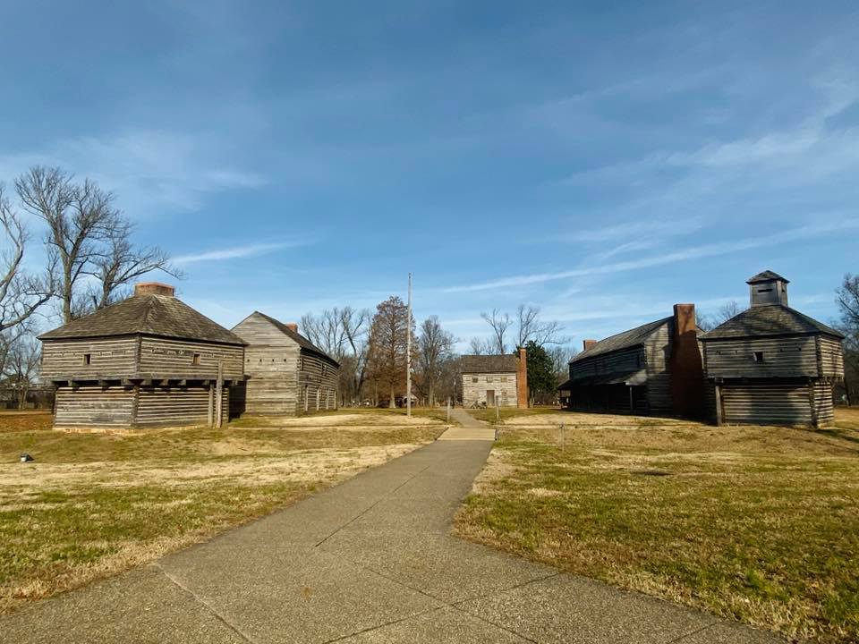
Fort Massac State Park has a lot of history. The fort was used throughout the history of the early settler days of Illinois and the United States. It’s also the first state park ever made. A replica fort exists that you can see from the road and easily walk to. There is a nice visitor center, too. There are numerous areas to drive through and access to the Ohio River.
This state park is located in the City of Metropolis, Illinois. Use this Google Maps Link for the best driving route to this state park.
The state park is free to visit and is for day use only.
The roads to the park and within the park are mostly paved with some roads that gravel. The Illinois Department of Natural Resources manages the park.
10 – Superman Statue
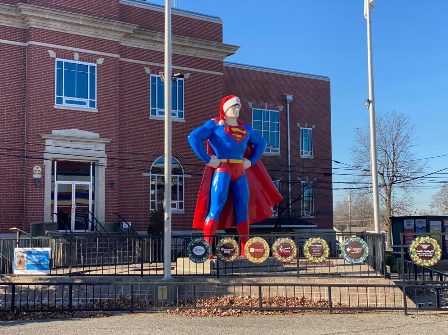
The City of Metropolis is known for many things. It’s where Harrah’s Casino is at. It’s where the first State Park in Illinois is located. But what it’s most known for is it being the home of Superman. Visit the Superman Statue on the square and see the Superman Museum while you’re at it.
The Superman Statue is located in the City of Metropolis, Illinois. Use this Google Maps Link for the best driving route to the statue.
Access to the statue is free. You may get a selfie with the statue.
The roads leading to the statue are paved and easy to navigate. The City of Metropolis manages the statue.
11 – Kincaid Mounds
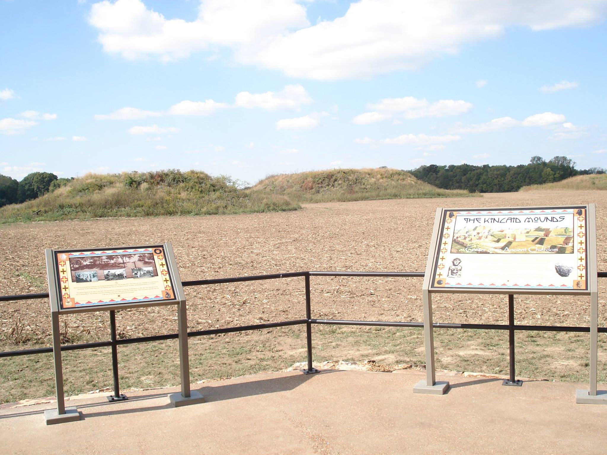
The Kincaid Mounds are 1050 – 1400 CE mounded hills that were a significant site and part of the Mississippian Culture. This was a very early Native American culture long before European Settlers arrived in North America. You can easily see the mounds in this area.
The Kincaid Mounds are located in Brookport, Illinois. Use this Google Maps Link for the best route to the mounds.
Access to visit the mounds is free. The area is for day use only. Walking on the mounds is strictly prohibited.
The roads to the mounds are a mix of paved and gravel at times. During Ohio River flooding, access to the mounds may be hindered. The Kincaid Mounds Support Organization manages the mounds.
12 – Golconda Riverfront
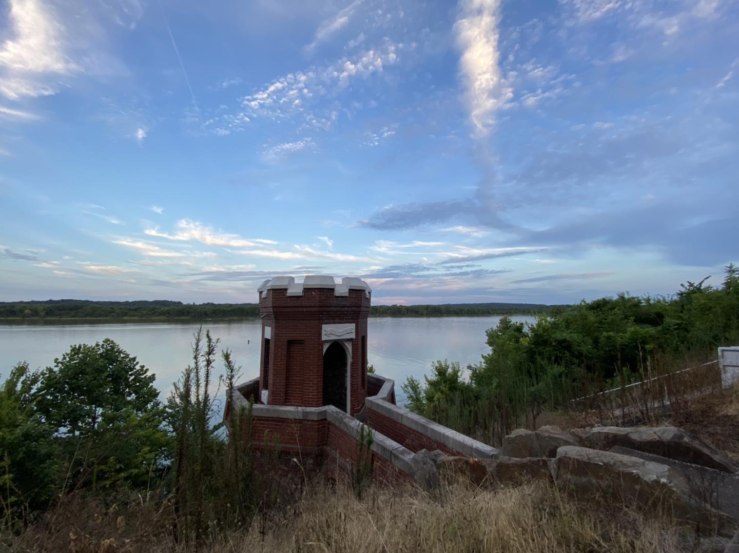
Golconda Riverfront enables a short drive along the Ohio River, where a historic dam once operated. You can see stuff left behind from the dam. There are also dam houses that you can rent. There are many scenic overlooks of the river, too. You can even see Berry’s Ferry across the river, which is where the Cherokee Indians crossed by flatboat along the Trail of Tears.
The Golconda Riverfront is located in the Historical Town of Golconda, Illinois. Use this Google Maps Link for the best directions to the Riverfront.
Access to the Riverfront is free. The area is for day use only.
The roads to the Riverfront are paved. The City of Golconda manages the Golconda Riverfront.
13 – Dixon Springs Dam Waterfall
The Dixon Springs State Park dam waterfall or spillway is worth checking out after a lot of rain. The spillway created a large waterfall that you can view right from your car. You can also enjoy other scenic areas while driving through the state park.
The Dixon Springs State Park is located in Golconda, Illinois. Use this Google Maps Link for the best driving directions to the park.
Access to the park is free. The area is for day use only.
All roads to and within the park are paved. The Illinois Department of Natural Resources manages the park.
14 – Trigg Tower
Trigg Tower is a former fire watch tower located in the heart of the Shawnee National Forest. You can easily view the tower in its entirety by driving to it. If you want to, you can climb up to the top of it. The tower is only half the size it used to be.
Trigg Tower is close to the Village of Simpson, Illinois. Use this Google Maps Link for the best directions to the tower.
Access to the tower site is free. The area is for day use only.
Most of the roads to the tower site are a mix of paved and gravel. Some of the gravel roads contain potholes. Drive with caution. The tower is managed by the US Forest Service – Shawnee National Forest.
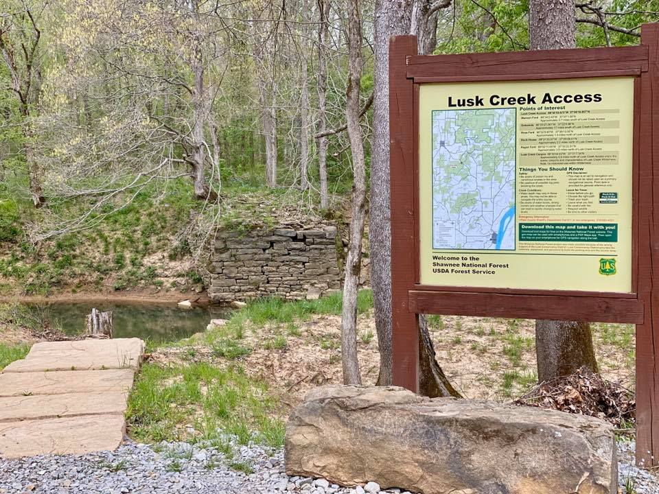
15 – Lusk Creek Access & Steel Bridge
The Lusk Creek Access is one of the most beautiful roadside attractions in the Shawnee National Forest to see by driving to. You’ll be able to pass through and see the steel bridge on Eddyville Blacktop. There aren’t many bridges like this one around the region. You can also drive down to the access area to see the canoe/kayak launch. There are scenic views of Lusk Creek around this area.
The Lusk Creek Access site is close to the Village of Eddyville, Illinois. Use this Google Maps Link for the best driving directions.
Access to the area is free. It is for day use only.
All the roads leading to the site are paved. The road and parking lot at the site is gravel. This area is managed by the US Forest Service – Shawnee National Forest.
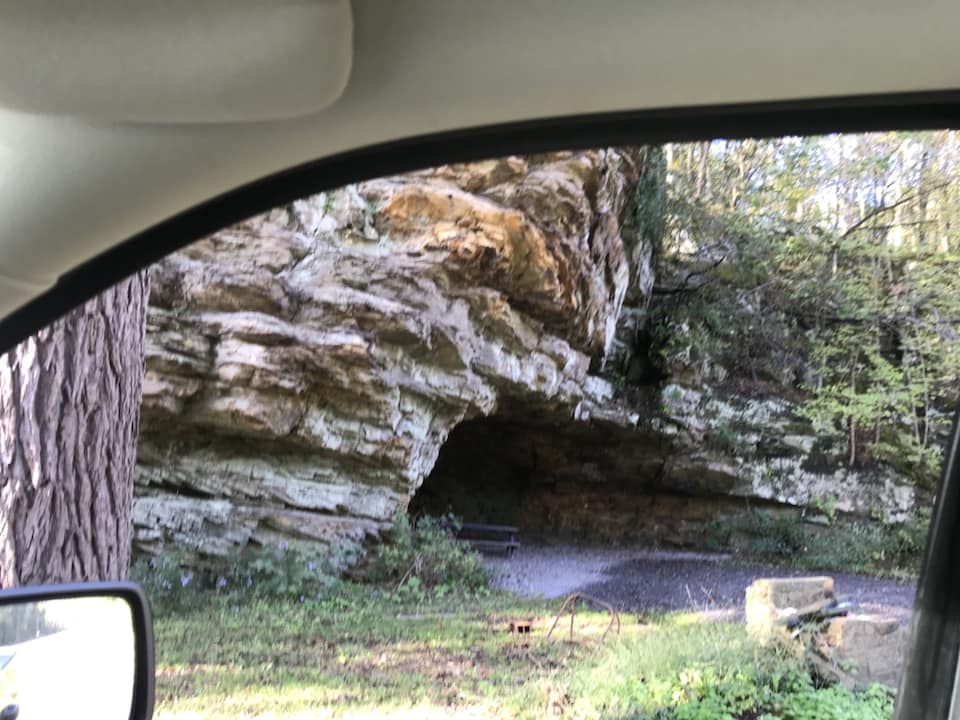
16 – Herod Cave
Herod Cave is an interesting natural cave shelter that you can literally drive right to. It is right along the highway that runs through Herod. The site features a natural cave and remnants of a brick building that used to be attached to it. The building was a café at one time, and the upstairs housed the print office for Springhouse Magazine.
The Herod Cave is located in the Village of Herod, Illinois. This Google Maps Link will show you the best driving directions to reach it.
The area is free to visit. Please practice Leave No Trace. The area is for day use only.
Paved roads lead up to the area. There is very limited parking available. This area is on private property. The landowners appear to have let people visit for many years. Please be respectful of the area.
17 – Tecumseh Statue
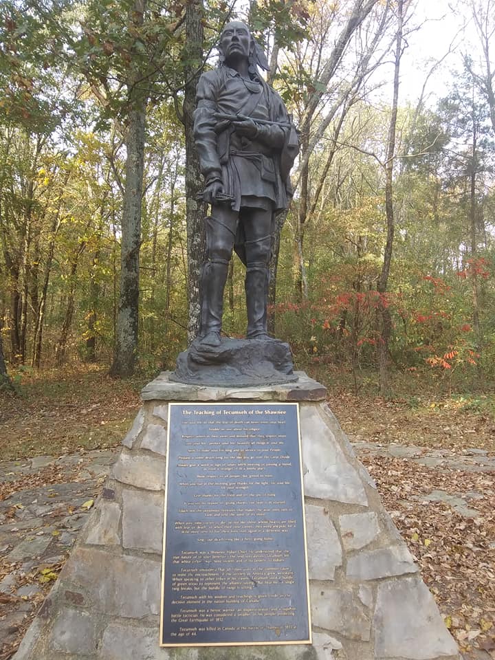
The Tecumseh Statue represents Chief Tecumseh, who was a warrior Native American of the Shawnee tribe that once inhabited southern Illinois. He fought against the white settlers who attempted to expand American land within Native American boundaries. The statue can be seen from your vehicle, but you can get out and read information easily.
The statue is located within Glen O Jones Lake near Equality, Illinois. Use this Google Maps Link for the best driving directions to reach the area.
This area is free to visit. This is a day-use-only area.
All roads leading to this statue are paved. The Illinois Department of Natural Resources manages the statue.
18 – Sassy the Bigfoot Statue
Sassy is a Bigfoot character within the Shawnee National Forest. Sassy has a life-sized statue located across from the Garden of the Gods Outpost General Store. You can drive up and see the statue from your car or even get out and take a selfie with her.
The Sasquatch Statue is located near the town of Karbers Ridge, Illinois. Use this Google Maps Link for the best directions to the site.
The area is free to visit. This is a day-use area only.
All roads to the Sassy Sasquatch Statue are paved. Southernmost Illinois Tourism manages the statue.
19 – Shawn E. Sasquatch Statue
The Shawnee E. Sasquatch is a Bigfoot statue located in Harrisburg. Harrisburg claims to be the Bigfoot capital of Illinois. It even has an annual Sasquatch Festival. You can drive up to the statue and see it from your vehicle, or you can get out and take some selfies. No, the statue was not named after me. It was named after Shawnee National Forest (get it, Shawn E?)
Shawn E. Sasquatch is located in the City of Harrisburg, Illinois. Use this Google Maps Link for the best directions to the site.
This statue is free to visit. This is a day-use area only.
The roads leading to this statue are paved. The City of Harrisburg, Illinois, manages this statue.
20 – Cave-in-Rock Ferry
The Cave-in-Rock Ferry is an Ohio River ferry that will take you from Illinois to Kentucky or from Kentucky to Illinois. You can drive onto the ferry or park and get on it by foot (and bicycle). It’s the only way to get across the river for quite a distance. The ferry ride is completely free. You can do it just to experience it as well.
Cave-in-Rock Ferry is located in the Village of Cave-in-Rock, Illinois. Use this Google Maps Link for the best directions to the ferry.
The ferry is free to use. If you just want to ride the ferry, it’s best to leave your car in the parking lot to save room for folks who want to cross to get to Kentucky. This is a day-use-only ferry operation.
All roads leading to the ferry are paved. The Illinois Department of Transportation manages this area.
And now that you know about these amazing roadside attractions in the Shawnee National Forest, you can start marking them off your list. If you’ve enjoyed this article, leave a comment telling me because I can easily make more like it. Feel free to support my efforts by leaving me a one-time tip or even becoming a monthly supporter. Your support is very appreciated. Be sure you subscribe to my free email newsletter for even more tips and resources about the Shawnee National Forest!
Please Support Hiking with Shawn
Alrighty folks, I hope you have enjoyed this content. I provide it for free and it takes a while to create. If you would be so kind enough to support my efforts, you can do so by sharing this post with others, especially on social media. Be sure to subscribe to my YouTube Channel to see my latest videos, shorts and live streams. Follow me on Facebook, Instagram, Twitter and TikTok for unique content that you will only find on those pages. You might also join my Southern Illinois Hiking & Outdoor Resources Group on Facebook, too!
You can also support me by becoming a Patreon Supporter for as little as $3/month and you can cancel anytime (no contracts or catches). Patreons get access to extra features, exclusive articles, sticker packs, gifts and more. Consider buying official Hiking with Shawn Merchandise as another way to support me. I spend a lot of money on Hiking with Shawn and because of extremely high public land permit fees, I make very little money in return so everything helps.
Thanks again for checking out another one of my articles and until next time, I’ll see you on the trail!
Shawn Gossman
Founder, Hiking with Shawn
Howdy folks! My name is Shawn Gossman and I founded Hiking with Shawn. I’m an avid hiker, cyclist and outdoorsman here in the Shawnee National Forest. I was born and raised in Southern Illinois and never want to leave. Click here to learn more about Shawn Gossman



Your articles have been such a helpful blessing! Thank you! My husband and I are heading that way November (14-16) and planning to stay at Lakevof Egypt Cabin and biking the Tunnel Hill Trail. It would be wonderful to meet you, if possible!!
It might be. I work full-time through the week though.
Hi Shawn
I am planning a trip down to Snake Road St Patrick’s Day weekend. I live up by Chicago and I am not real familiar with that area. What town with hotels would be the closest to book a room in?
Thanks Jimmy
Murphysboro or Anna will be the closest hotel towns. Carbondale is also close and has a lot of great places to eat.
Any thoughts about being here with young kids and doing dispersed camping?
Jackson Falls is great for that!