5 Routes for Scenic Driving in the Shawnee National Forest
There are many great opportunities for scenic driving in the Shawnee National Forest.
Whether you’re in your family sedan or a 4×4 jeep, there are many different routes with many different features. You’ll see amazing bluffs, cute little communities, historical sightseeing spots, and plenty of Shawnee National Forest along the way.
Scenic driving in the Shawnee National Forest is great for everyone, whether a family with young children, a group of jeep riders, or seniors who can’t get out and hike anymore but still want to witness the beauty of the Shawnee.
This guide features 5 of the best driving routes through the Shawnee National Forest and Southern Illinois and everything you need to know about them. Let’s jump right into these amazing routes!
Table of Contents
Scenic Driving in the Shawnee National Forest: The Routes
Now for some of the best routes for scenic driving in the Shawnee National Forest.
1 – Route 3: The Plains of the Shawnee National Forest
Explore the “central plains” like the environment of the Shawnee National Forest as you drive along Route 3. It’s like seeing miles of flat crop fields with the mountain-like Shawnee Hills in the backdrop. With the Mississippi River to the Right and the Shawnee Hills to your left, this route will be one to remember for life.
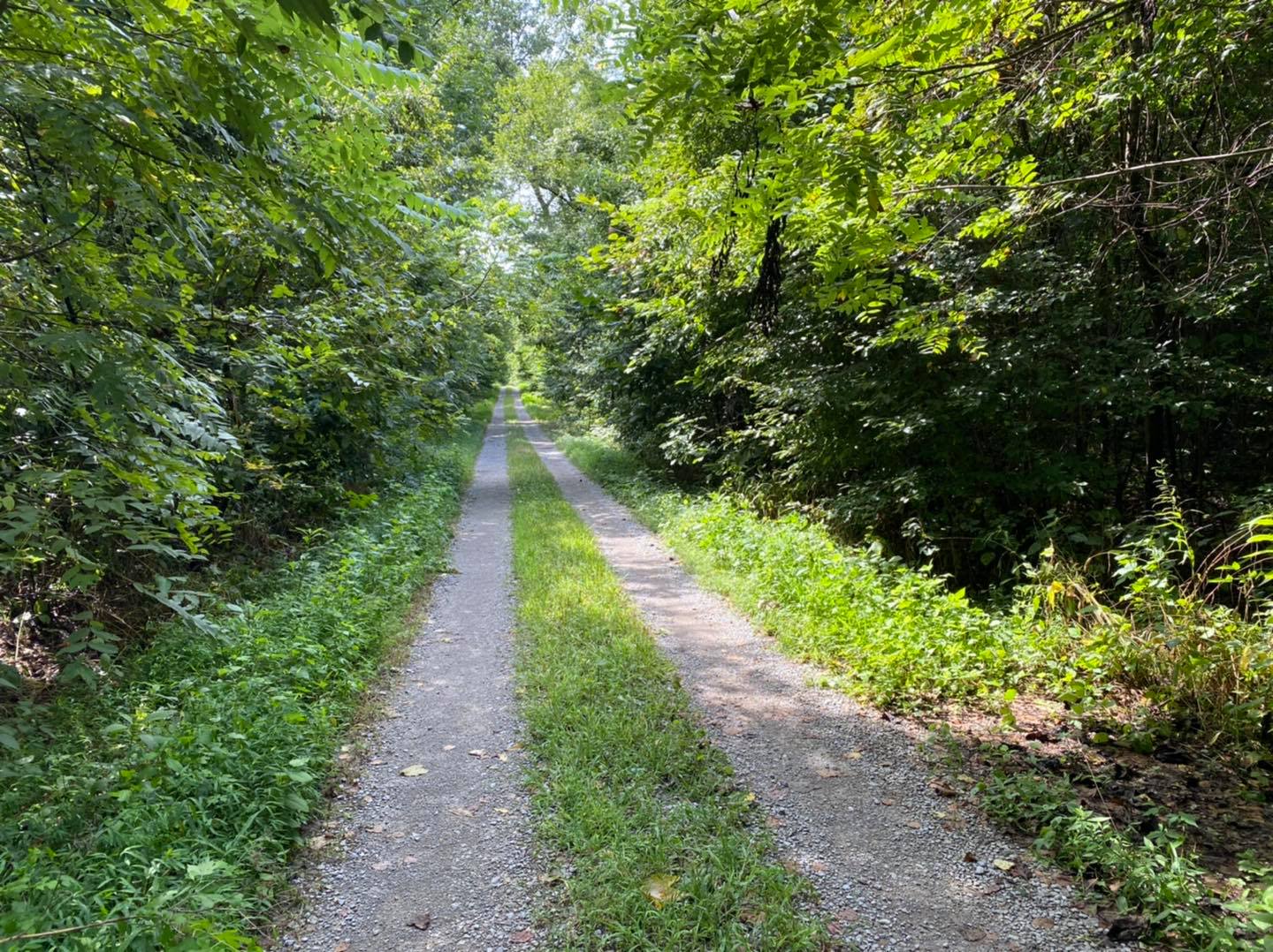
Start at Chester, Illinois (Home of Popeye!) and head down Route 3 all the way to Fort Defiance in Cairo, Illinois, which also happens to be the southernmost terminus of Illinois. This route is nearly 90 miles in length from Chester to Cairo.
There is a lot to see and do along this route:
- In Chester, enjoy the Popeye exhibits and take advantage of amenities such as restaurants, fuel, and shopping, as these resources will be scarce along this route. (Mile 0)
- For about the first 20 miles from Chester to a bit past Rockwood, enjoy the many scenic views of forested regions, river helmets, and interesting houses and decorations along the way. (Mile 18)
- Look for the small pull-off area across from Illinois 151. This area is known as Austin Hollow. Look out into the field for a small hill that looks like a tall dirt pile. This is actually a Native American Mound. The mound is on private property, so please view it from the pullover only. (Mile 18)
- As you pass IL-149 to your left, start looking toward your right. You’ll notice a very large, isolated hill. That hill is known as “Big Hill” or Fountain Bluff. Native Americans once inhabited that area. There is National Forest land on the top, but it is very rugged conditions especially for hiking. (Mile 26)
- Shortly as you start to pass Fountain Bluff, if you look to your left, you’ll see Oakwood Bottoms which is a National Forest area. Feel free to drive into the area, hike the nature trails, and camp at the free campground at the end of the Road, Turkey Bayou. If the river is up, the campground will be underwater. (Mile 29)
- Pine Hills starts the mountainous-like Shawnee Hills area to your left. This is home to Snake Road, a world-famous 2.5-mile stretch of Forest Service Road that closes twice a year so snakes can safely migrate across. Foot traffic is allowed. Turn onto Muddy Levee Road just past the Big Muddy River crossing and drive until you get to the T. Turn right and park in the parking area shortly after you turn. There is a sign and information at the gate for Snake Road. (Mile 37.1)
- Once you enter the hamlet of Ware (Where are we? Ware. Yeah, where are we? WARE!), shortly after is a historical location where Lewis and Clark passed through during the expedition of America. (Mile 46)
- Right before you get to Thebes, there is a little park to your right off Riverview Drive. This is another Lewis and Clark Expedition site, but it also hosts a beautiful and scenic view of the Mississippi River. Watch the barge traffic go through. It’s something to see. (Mile 87)
- Turn into the Village of Thebes and drive to the Old Thebes Courthouse. It’s very historical, they love giving tours, and there is a lot to see. (Mile 63)
- Olive Branch will be the next town with some amenities such as dining, shopping, and fuel. (Mile 70)
- Once you pass Olive Branch, you can turn onto East Side Drive to access Horseshoe Lake, which is the only natural lake in Southern Illinois that used to be a part of the river. Horseshoe Bar and Grill has amazing meals to choose from, too. The lake (no wake) offers kayaking, fishing, picnicking, camping, biking, and hiking trails. (Mile 73)
- Continuing south, you can see where the Cache River feeds into the Mississippi River. (Mile 78)
- Coming into Cairo, you’ll pass under its historic underpass. There are a few places to eat and shop in Cairo, as well. Cairo is described as a Living Ghost Town and is the most southern town in Illinois. (Mile 84)
- At the end of this route is Fort Defiance State Park, where you can stand on the southern portion of the state of Illinois and see the confluence of the Ohio (left) and Mississippi (right) Rivers. (Mile 88)
This drive is best done during daylight hours. Start early in the morning in Chester so that you can see everything and not worry about deer running across the road at night. The best seasons to visit are spring and fall so that you can see wildflowers blooming in the spring and the amazing colors of the trees during the fall.
You can find more tourism information for the areas you will be passing through: Randolph County (Chester), Jackson County (Austin Hollow), Union County (Pine Hills), and Alexander County (Cairo).
2 – Grapevine Trail: Rolling Hills and Windy Roads
The Grapevine Trail is a shorter scenic driving route through extreme southwestern Illinois. Along this route, you’ll experience tight curves, rolling hills, and peaceful and scenic countryside. There is a mix of farmland, woods, and even some Shawnee National Forest.
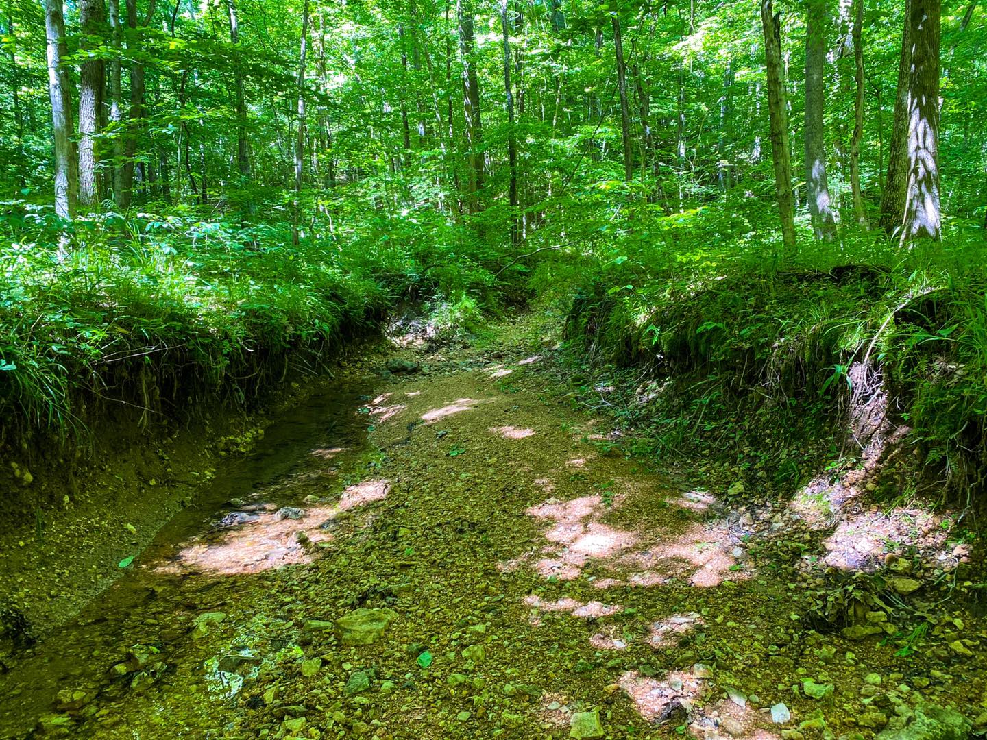
Start in McClure and take Grapevine Trail to your east. Drive the nearly 15-mile route until you reach the Village of Tamms. Be careful, as there are many curves, twists, and rolling hills along this route.
There are a few things to see along the way:
- A little past McClure, you’ll find a trail on your left. There is a Forest Service sign for the Natural Area, Ozark Hill Prairie. You can hike this trail, but it is very hilly. (Mile 4.2)
- You can take the gravel road to your right about a mile or so past the last trail to get to the Horse Creek Loop. This is a very nice loop with a cool creek. (Mile 4.8)
- There is a campground listed as Rest in Peace Campground along this route. I’ve tried to find online information about it. I’m not sure if it’s still open or not. (Mile 5.8)
- Tamms is at the end of your route. This community has places to stop, eat, and shop.
The best times to visit this route are during spring (wildflower bloom), fall (for the colors), and winter leaf-off (to see everything). However, use caution if snow or ice is forecast, as this road may not get a lot of attention like other more popular routes.
This entire route is located in Alexander County, so be sure to check out their tourism page for more things to see and do in the area.
3 – Pomona Backroads: Gravel Roads by the Wilderness
The backroads of Pomona, Illinois, are amazing, to say the least. Along this route, you’ll see a mix of countryside and Shawnee National Forest. There are rolling hills, paved roads, gravel roads, narrow turns, and a lot of sightseeing.
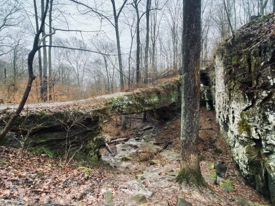
This loop starts and ends at Alto Pass. The closest gas stations are in Murphysboro or Anna. This route is about 28.5 miles in total and uses a mix of paved and gravel roads. Some of the gravel roads have potholes and narrow lanes.
There is a lot to see and do along this route:
- Visit the Peachbarn Winery and Café at the start of your drive in Alto Pass. (Mile 0.2)
- Take your first left turn and drive it up the hill for a few miles if you want to see the amazing Bald Knob Cross of Peace. (Mile 0.6)
- Shortly after you pass up the road leading to the cross, staying on the original route, you’ll see a shed off the side of the road to your right called The Pottery Shed. If you have cash, stop and get you some pottery. It’s amazing work. (Mile 0.8)
- You’ll eventually reach a point where you can turn to get to Holy Boulders if you’re into bouldering, and it’s not too far off the route, either. (Mile 7.4)
- Once you get on Pine Hills Road, the first trailhead to your right is McCann Springs and it’s the long way to Inspiration Point. During spring, wildflowers bloom; it’s a really pretty trail. (Mile 9.9)
- Driving up the switchback on Pine Hills Road will bring you to another trailhead on your right. This is the Inspiration Point Trail. It’s a very short walk to an amazing view. Please use caution as people have fallen to their deaths here. (Mile 10.5)
- Continue on Pine Hills Road and enjoy the several pull-off spots to see amazing overlooks. There is even a selfie station at one of them. McGee Hill provides a nice picnic area overlook, and there is even a vault toilet if you need to go. (Mile 14)
- Once you start going back down the switchback on Pine Hills Road, you’ll come up to another trailhead (White Pine Trail), which is an out-and-back trail from there to the Pine Hills Campground. It has a lot of pretty views. (Mile 14.7)
- Pine Hills Campground is a very nice Forest Service campground with vault toilets and a picnic shelter. This is also the site of an old CCC camp. (Mile 17)
- Once you get on Beech Grove Road, there is an opportunity to reach Hutchins Creek South, which is great for summertime wading when it’s hot. (Mile 22)
- On Rhine Road, there is a small trailhead for Bald Knob Wilderness. It features a short (but hilly) loop trail that takes you to the Bald Knob Cross and back. Use caution during the warm months as timber rattlesnakes occur in this area. (Mile 24.5)
- When you arrive at Alto Pass, be sure to enjoy the town’s offerings, including the Bourbon Bar.
The best time to visit is any time during the daylight hours. Each season brings beauty to this part of the region. However, use caution during seasons with wintry precipitation, as many of the gravel roads could become impassible.
For more things to do, see the Union County, Illinois Tourism Website, as this entire route is within Union County.
4 – Highway 127: Drive through the Orchards and Wineries
Highway 127 in Southern Illinois makes for a very nice scenic drive. It’s the route you want to take to check out the little winery towns, access some great hiking, and explore more of what our region has to offer. There is something for everyone who drives this route.
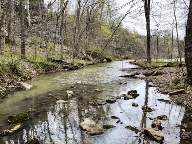
This route starts around Olive Branch and goes to Murphysboro. Make sure you have plenty of gas, as there aren’t many fuel options along this route until Murphysboro. It is approximately 48 miles in total length.
There are many great things to see along this route:
- The first seven miles are spent driving through small towns and hamlets, mainly adoring the countryside of extreme Southern Illinois. Enjoy Cache River on your right. (Mile 0-7)
- You’ll make the roundabout in Jonesboro. It’s also the square and you might find a few cool places to stop there. Get out, stretch, and shop local. (Mile 23)
- Eventually, you’ll read State Forest Road on your left. Take it for a side trip to see Trail of Tears State Forest. There is a full-in-tact fire tower (can’t climb it, sadly), hiking trails, the best campground around, and really cool creeks. (Mile 27)
- Back on 127, you’ll pass State Forest Road and find Mountain Glen Road to your right. If you take it to Kaolin Road, it will lead you to a park-like trailhead. This is the site where the clay was mined to make Anna Pottery. (Mile 30)
- Ahead on 127, you’ll come into Alto Pass. You have to stop in town and check out what it has to offer, including visiting the Bourbon Bar, Peachbarn Winery and Café, Quetil Trail, and Cliff View Park. (Mile 34)
- For the next few miles, you can enjoy all the wineries in the area and stop by Rendleman Orchards if they’re open for the season. The farm general store has so many goodies! (Mile 34-36)
- A few miles later, you’ll get into Shawnee Forest County. You’ll come up to Pomona. You can go left to check out Pomona Natural Bridge or right to check out Cedar Lake. (Mile 38)
- At the end of your route is Murphysboro, which has tons of great places to eat, shop, sightsee, and get gas. Just watch out for the Big Muddy Monster – it lurks!
The best times to drive this route are during Spring, Summer, and Fall. Spring and Summer are when the wineries and orchards are open for visiting, and fall gives you some of the best colors you’d want to see. Winter is nice, too, but many things close when it’s cold outside.
This route runs through Alexander, Union, and Jackson counties, so be sure to check out their tourism pages for more stuff to do.
5 – Highway 13: From the Mississippi to the Ohio Rivers
Highway 13 through Southern Illinois will take you from almost from the Mississippi River all the way to the Ohio River. You’ll pass through the biggest cities in Southern Illinois and even make it to one of the oldest towns too. There is a lot to see and do along this route.
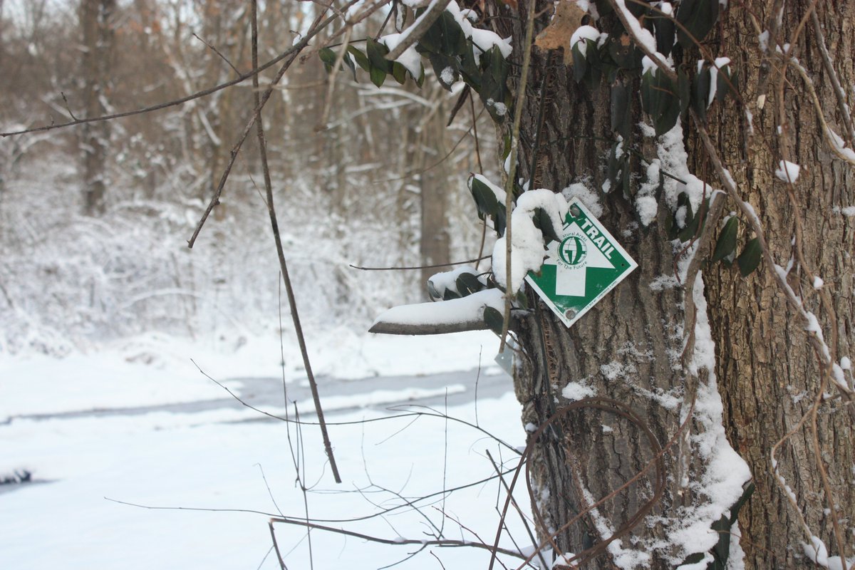
This route is 77 miles long. It starts near Murphysboro and ends at Old Shawneetown. Along the way, there are plenty of places to get gas, food, and supplies. Please use caution when driving in more congested areas and bigger cities.
There are a lot of places to check out as you take this drive:
- Lake Murphysboro is definitely worth checking out. You can hike and kayak there. I even like road biking around the lake, but be warned, it’s hilly! (Mile 5)
- Murphysboro is the first bigger town you’ll come to. They got everything there, too. (Mile 7)
- Don’t leave Murphysboro without stopping for a selfie with the Big Muddy Monster in front of the McDonalds. (Mile 8)
- The next bigger town you’ll drive into is Carbondale. They also have everything, including diverse food selections, and it’s the home of Southern Illinois University, too. (Mile 14)
- You cross over a big lake. This lake has hiking trails, boating and fishing opportunities, scenic driving, wildlife viewing, and more. This lake is Crab Orchard Lake. (Mile 21)
- Next, you’ll drive through a few smaller towns, such as Carterville and Herrin. Herrin has a lot of history with Bloody Williamson, but it’s perfectly safe and fun to visit today. (Mile 23-26)
- Marion will be your next big town to visit. Oasis Outdoors has done a lot there and it’s worth checking it out. Visit SI is always hosting something in the Marion Pavilion. After Marion, it will be a while before you see more dining, gas, and shopping establishments. (Mile 30)
- Before you read Harrisburg, after driving in the country, you’ll see Sahara Woods to your right. This place has a UTV/ATV riding park in it. There is a lot to do there. (Mile 48)
- Harrisburg is the last big town you’ll reach on this route. There is a lot of Sasquatching going on in the Gateway of the Shawnee National Forest, which is Harrisburg. (Mile 53)
- Equality is a small town just past Harrisburg, but they have some great tourism information there, and The Red Onion is worth eating at if it’s open. (Mile 64)
- Shawneetown will be the next town you visit if you need something to eat or need to get some fuel. (Mile 80)
- The route ends in Old Shawneetown. There, you’ll see the oldest bank in Illinois and some other historical locations. The town used to be vibrant but has been flooded more times than it can handle, which is why there is another Shawneetown.
The best times to drive this route are spring, summer, and fall. During the winter, many things close down, and the views aren’t the best. However, around Christmas, an evening drive might be nice to see the lights and decorations in the bigger cities and towns.
The route passes through Jackson, Williamson, Saline, and Gallatin Counties in Illinois. For more things to do, be sure to check out their tourism pages.
Tips for Enjoying Scenic Driving in the Shawnee National Forest
Enjoy scenic driving in the Shawnee National Forest by following these tips to help keep you safe and engaged.
Make sure the driver is paying attention to the road at all times. If everyone wants to see it, pull over safely at a point of interest.
The average speed limit along these routes is 55 miles per hour. However, some areas may have a speed limit as low as 20 miles per hour. Wildlife crosses most of these routes.
Look for and use caution with deer, foxes, coyotes, pets, snakes, raccoons, opossums, armadillos, otters, and squirrels.
Most of the roads are paved, but some backroads may be gravel with potholes. Wintry weather conditions may make these routes difficult or even dangerous to travel on.
Many of these routes are rural and go on for a long time without dining, shopping, or fuel resources along the way. It is not advisable to drive these routes during the nighttime hours.
Please plan for scenic driving in the Shawnee National Forest before you go.
Now, Over To You!
The routes above make for some of the best scenic driving in the Shawnee National Forest. This is not an exhaustive list, though. Please research other routes in Southern Illinois that are also worth checking out. For jeep clubs and groups, I highly recommend connecting with Jeep’N Shawnee on Facebook to learn about more legal jeep routes.
I’d love to hear from you. What is your favorite scenic driving route in or around the Shawnee National Forest? Why is it your favorite scenic driving route?
If you’ve enjoyed this extensive guide, please consider supporting its publication by making a small one-time donation or becoming a monthly supporter for a very low cost. Your support will encourage me to continue creating more content like this.
Be sure to join The Hiking Forum for hiking and backpacking chat from all over the world. Subscribe to my free monthly newsletter for more hiking tips and information about upcoming local events around the Shawnee National Forest.
And until next time, I’ll see you on the trail.
Please Support Hiking with Shawn
Alrighty folks, I hope you have enjoyed this content. I provide it for free and it takes a while to create. If you would be so kind enough to support my efforts, you can do so by sharing this post with others, especially on social media. Be sure to subscribe to my YouTube Channel to see my latest videos, shorts and live streams. Follow me on Facebook, Instagram, Twitter and TikTok for unique content that you will only find on those pages. You might also join my Southern Illinois Hiking & Outdoor Resources Group on Facebook, too!
You can also support me by becoming a Patreon Supporter for as little as $3/month and you can cancel anytime (no contracts or catches). Patreons get access to extra features, exclusive articles, sticker packs, gifts and more. Consider buying official Hiking with Shawn Merchandise as another way to support me. I spend a lot of money on Hiking with Shawn and because of extremely high public land permit fees, I make very little money in return so everything helps.
Thanks again for checking out another one of my articles and until next time, I’ll see you on the trail!
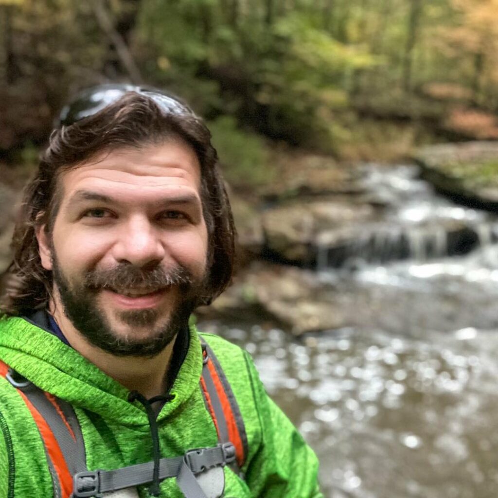
Shawn Gossman
Founder, Hiking with Shawn
Howdy folks! My name is Shawn Gossman and I founded Hiking with Shawn. I’m an avid hiker, cyclist and outdoorsman here in the Shawnee National Forest. I was born and raised in Southern Illinois and never want to leave. Click here to learn more about Shawn Gossman

